Landover in Prince George's County, Maryland — The American Northeast (Mid-Atlantic)
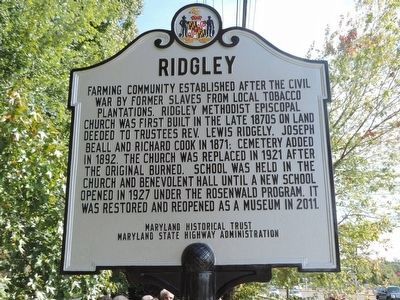
Ridgley
Erected 2015 by Maryland Historical Trust, Maryland State Highway Administation.
Topics and series. This historical marker is listed in these topic lists: African Americans • Cemeteries & Burial Sites • Churches & Religion • Education. In addition, it is included in the Rosenwald Schools series list.
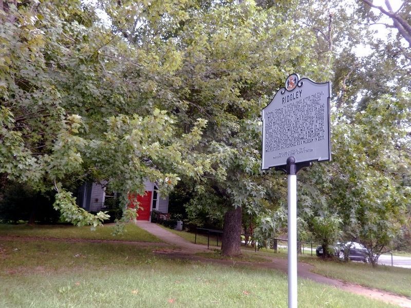
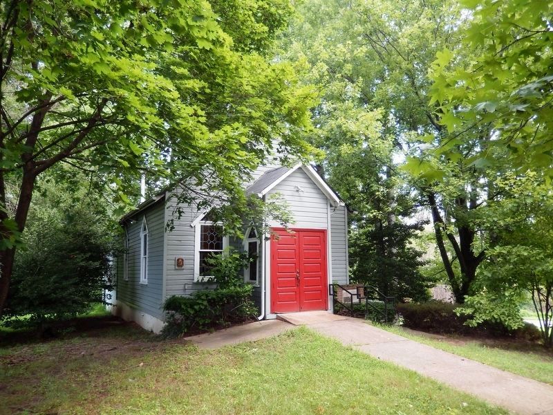
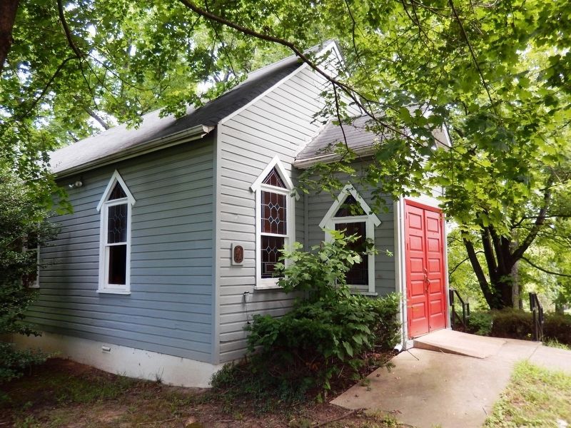
Location. 38° 53.454′ N, 76° 51.13′ W. Marker is in Landover, Maryland, in Prince George's County. Marker is on Central Avenue (State Road 214) 0.2 miles west of Capitol Beltway (Interstate 95/495), on the right when traveling west. The marker is on the lawn off the westbound Central Avenue sidewalk, between the Ridgley Methodist Episcopal Church and its historic cemetery. Touch for map . Marker is at or near this postal address: 8900 Central Ave, Landover, MD, Hyattsville MD 20785, United States of America. Touch for directions.
Other nearby markers. At least 8 other markers are within 2 miles of this marker, measured as the crow flies. Ridgeley Rosenwald School (approx. half a mile away); Tragedy Strikes Trooper 2 (approx. 1˝ miles away); Marvin F. Wilson Stadium (approx. 1.6 miles away); Development at the Wilson Farm Site (approx. 1.7 miles away); History of the Wilson Farm (approx. 1.7 miles away); This Memorial Honors Philip Reed (approx. 1.8 miles away); Elizabeth Keckly (approx. 1.9 miles away); Osborne Perry Anderson (approx. 1.9 miles away). Touch for a list and map of all markers in Landover.
More about this marker. Note that there is no parking at the north side curb on Central Avenue. A limited number of vehicles may find parking near the church via the long driveway extending southward from Brightseat Road at its intersection with the south end of Glen Valley Drive.
Credits. This page was last revised on August 17, 2019. It was originally submitted on October 12, 2015, by Richard E. Miller of Oxon Hill, Maryland. This page has been viewed 614 times since then and 31 times this year. Photos: 1. submitted on October 12, 2015, by Richard E. Miller of Oxon Hill, Maryland. 2, 3, 4. submitted on August 1, 2016, by Don Morfe of Baltimore, Maryland. • Bill Pfingsten was the editor who published this page.


