Scotland in St. Mary's County, Maryland — The American Northeast (Mid-Atlantic)
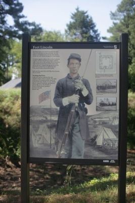
Fort Lincoln
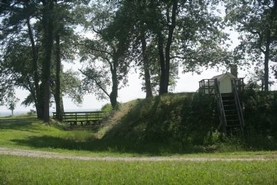
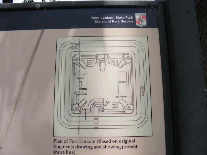
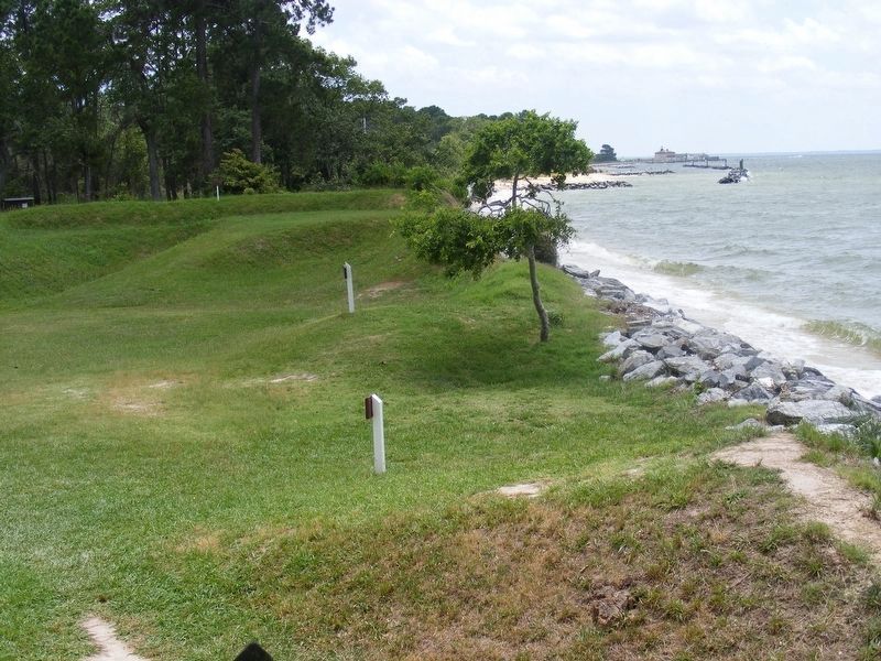
To defend against artillery fire or direct infantry assaults, the Fort had 60-yard square earthen walls. Loose dirt on the outside slowed attackers, while hardened interiors resisted cannon fire. At the rear, an L-shaped passage protected the gates from cannon fire or a battering ram. A dry moat further delayed the enemy.
Built near the end of the Civil War, Fort Lincoln saw no action.
Visiting the Fort
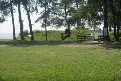
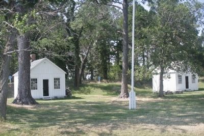
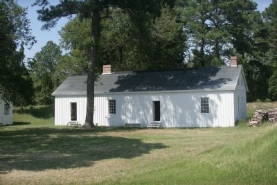
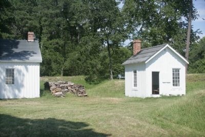
Today, the earthen walls are the only original vestiges of Fort Lincoln. The other structures are reconstructions, based on archival drawings. Inside you can visit the officers quarters, barracks, guardhouse and storage areas. The Friends of Point Lookout are key partners in preserving this historic site.
Caption of Top Drawing
Plan of Fort Lincoln (Based on original Engineers drawing and showing present shore line)
Caption of Middle Photo
Officers of 5th Regiment, who were stationed at Fort Lincoln.
Caption of Bottom Photo
Cabins at Fort Lincoln
Erected by Maryland Park Service.
Topics. This historical marker is listed in these topic lists: Forts and Castles • War, US Civil.
Location. 38° 2.385′ N, 76° 19.44′ W. Marker is in Scotland, Maryland, in St. Mary's County. Marker is on Point Lookout Road (Maryland Route 5). Touch for map. Marker is in this post office area: Scotland MD 20687, United States of America. Touch for directions.
Other nearby markers. At least 8 other markers are within walking distance of this marker. A Bustling Civil War Community (here, next to this marker); Defense Strategies (here, next to this marker); John Wilkes Booth (about 600 feet away, measured in a direct line); Point Lookout State Park (about 600 feet away); Point Lookout-Hammond Hospital (about 600 feet away); A Crucial Point (about 600 feet away); Let There Be Light (about 600 feet away); "Contraband" Camp (approx. 0.2 miles away). Touch for a list and map of all markers in Scotland.
Credits. This page was last revised on July 1, 2017. It was originally submitted on July 8, 2008, by Tom Fuchs of Greenbelt, Maryland. This page has been viewed 1,237 times since then and 40 times this year. Last updated on June 26, 2017, by Pete Payette of Orange, Virginia. Photos: 1, 2, 3, 4, 5, 6. submitted on July 8, 2008, by Tom Fuchs of Greenbelt, Maryland. 7, 8. submitted on June 26, 2017, by Pete Payette of Orange, Virginia. • Bernard Fisher was the editor who published this page.
