Orangeburg in Orangeburg County, South Carolina — The American South (South Atlantic)
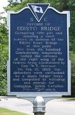
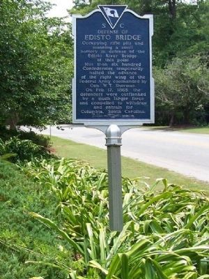
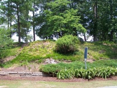
Defense of Edisto Bridge
Erected 1962 by Orangrburg County Historical Society Inc. (Marker Number 38-5.)
Topics. This historical marker is listed in this topic list: War, US Civil. A significant historical date for this entry is February 12, 1865.
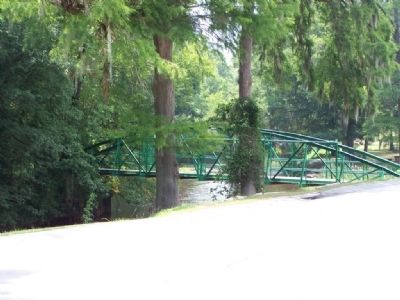
Location. 33° 29.392′ N, 80° 52.541′ W. Marker is in Orangeburg, South Carolina, in Orangeburg County. Marker is on Riverside Drive SW (South Carolina Route 125) 0.1 miles west of Seaboard Street NW (South Carolina Route 126), on the right when traveling west. In Edisto Gardens, at the curve opposite the foot bridge across the Edisto River and opposite the Orangeburg Arts Center. Touch for map. Marker is in this post office area: Orangeburg SC 29115, United States of America. Touch for directions.
Other nearby markers. At least 8 other markers are within walking distance of this marker. Albergotti Playground (about 300 feet away, measured in a direct line); Orangeburg County / Discovering Orangeburg (approx. 0.3 miles away); Veterans Memorial Fountain (approx. half a mile away); Pioneer Graveyard (approx. half a mile away); Confederate Flag (approx. half a mile away); Old Dixie Club Library (approx. half a mile away); Veterans Memorial Park (approx. half a mile away); Jewish Merchants/Jewish Life (approx. 0.6 miles away). Touch for a list and map of all markers in Orangeburg.
Credits. This page was last revised on September 17, 2020. It was originally submitted on July 8, 2008, by Mike Stroud of Bluffton, South Carolina. This page has been viewed 1,583 times since then and 44 times this year. Last updated on May 29, 2019, by Eric Powell of Orangeburg, South Carolina. Photos: 1. submitted on October 1, 2010, by Mike Stroud of Bluffton, South Carolina. 2, 3, 4. submitted on July 8, 2008, by Mike Stroud of Bluffton, South Carolina. • Andrew Ruppenstein was the editor who published this page.


