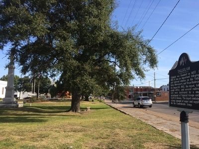
Tallulah in Madison Parish, Louisiana — The American South (West South Central)
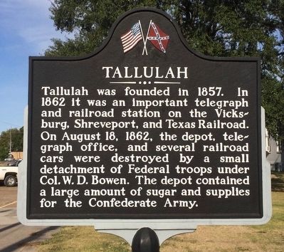
Tallulah
Erected 1962 by Louisiana Civil War Centennial Commission.
Topics and series. This historical marker is listed in these topic lists: Railroads & Streetcars • Settlements & Settlers • War, US Civil. In addition, it is included in the Grant’s March Through Louisiana series list. A significant historical date for this entry is August 18, 1862.
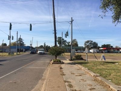
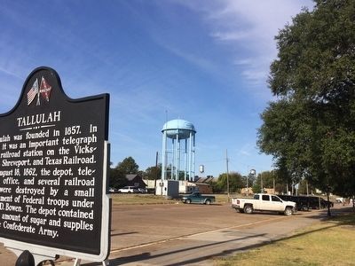
Location. 32° 24.465′ N, 91° 11.237′ W. Marker is in Tallulah, Louisiana, in Madison Parish. Marker is at the intersection of North Cedar Street (U.S. 65) and Depot Street, on the right when traveling south on North Cedar Street. Touch for map. Marker is at or near this postal address: 100 North Cedar Street, Tallulah LA 71282, United States of America. Touch for directions.
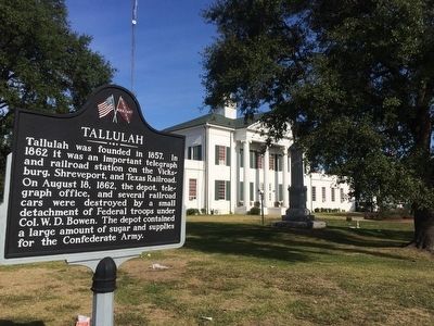
Other nearby markers. At least 8 other markers are within 5 miles of this marker, measured as the crow flies. Madison Parish Confederate Monument (a few steps from this marker); Rufus "RIP" Wimberly (about 300 feet away, measured in a direct line); Scottland Plantation House (approx. 0.6 miles away); Schicker Mound (approx. 0.6 miles away); Burning of Richmond (approx. 2.1 miles away); Skirmish at Richmond (approx. 2.1 miles away); Crescent Plantation (approx. 3 miles away); Grant’s March (approx. 4.3 miles away). Touch for a list and map of all markers in Tallulah.
Also see . . . Wikipedia article on Tallulah Louisiana. (Submitted on October 21, 2015, by Mark Hilton of Montgomery, Alabama.)
Credits. This page was last revised on January 23, 2023. It was originally submitted on October 21, 2015, by Mark Hilton of Montgomery, Alabama. This page has been viewed 642 times since then and 45 times this year. Photos: 1, 2, 3, 4, 5. submitted on October 21, 2015, by Mark Hilton of Montgomery, Alabama.
