Fort Myers in Lee County, Florida — The American South (South Atlantic)
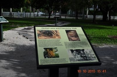
Orchid Lane and Friendship Walk
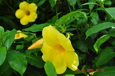
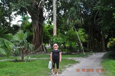
Today orchids like the Phaelanopsis, Dendrobium, and Cattlyea can be seen throughout the gardens, as well as along Orchard Lane. The Estates is a Convention on International Trade and Endangered Species (CITES) designated organization by the U.S. Department of the Interior and receives plants from throughout the world.
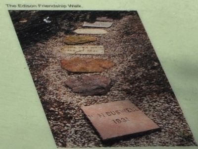
The stones along this pathway create the Friendship garden feature at Seminole Lodge. Each stone was a gift to the Edisons from friends, family and local community members and leaders. This path started in 1928 with a stone from Hamilton Holt, the president of Rollins College in Winter Park, Florida. There are also stones in memory of Mina’s mother and father, Mary and Lewis Miller and the Valinda Circle, a local group promoting the ideals of the Chautauqua movement, which advocated culture, entertainment and education in small towns. Mina’s father was one of the founders of Chautauqua, and Valinda was her mother’s maiden name.
Topics. This historical marker is listed in this topic list: Notable Places. A significant historical year for this entry is 1928.
Location. 26° 38.067′ N, 81° 52.804′ W. Marker is in Fort Myers, Florida, in Lee County. Marker can be reached from McGregor Boulevard south of Larchmont Avenue, on the right when traveling south. The marker is inside the Edison Estate. Touch for map. Marker is at or near this postal address: 2350 McGregor Blvd, Fort Myers FL 33901, United States of America. Touch for directions.
Other nearby markers. At least 8 other markers are within walking distance of this marker. Edison Estate Restoration and Rebirth (here, next to this marker); Clara Ford’s Michigan Rose Garden (here, next to this marker); Edison’s “Florida Paradise” (here, next to this marker); Inside the Ford Home (here, next to this marker); Henry Ford (here, next to this marker); Henry Ford's Florida Estate (here, next to this marker); Edison Caretaker’s House (here, next to this marker); Edison Caretaker's Yard (here, next to this marker). Touch for a list and map of all markers in Fort Myers.
Also see . . . Edison & Ford Winter Estates. (Submitted on October 26, 2015.)
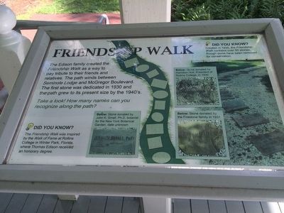
Photographed By Sandra Hughes, October 10, 2015
5. Friendship Walk Marker
The Edison family created the Friendship Walk as a way to pay tribute to their friends and relatives. The path winds between Seminole lodge and McGregor Bloulevard. The first stone was dedicated in 1930 and the path grew to its present size by the 1940's.
Credits. This page was last revised on August 30, 2017. It was originally submitted on October 23, 2015, by Sandra Hughes Tidwell of Killen, Alabama, USA. This page has been viewed 293 times since then and 8 times this year. Photos: 1, 2, 3, 4, 5. submitted on October 23, 2015, by Sandra Hughes Tidwell of Killen, Alabama, USA. • Bernard Fisher was the editor who published this page.
