Near Goldthwaite in Mills County, Texas — The American South (West South Central)
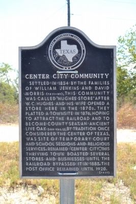
Center City Community
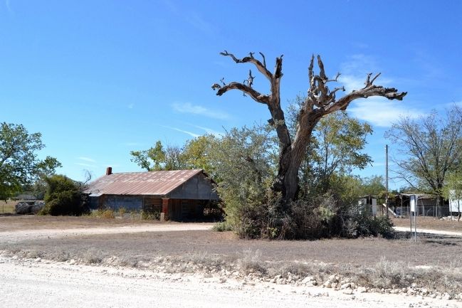
Settled in 1854 by the families of William Jenkins and David Morris (1811-89), this community was called “Hughes Store” after W.C. Hughes and his wife opened a store here in the 1870s. They platted a townsite in 1876, hoping to attract the railroad and to become county seat. An ancient live oak (100 yds. S), by tradition once considered the center of Texas, was site of temporary court and school sessions and religious services. Renamed “Center City”, this thriving town boasted several stores and businesses until the railroad bypassed it in 1885. The post office remained until 1920.
Erected 1977 by Texas Historical Commission. (Marker Number 783.)
Topics. This historical marker is listed in this topic list: Settlements & Settlers. A significant historical year for this entry is 1854.
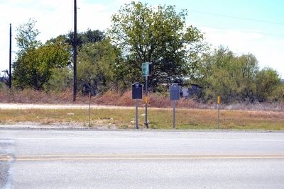
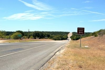
Location. 31° 28.18′ N, 98° 24.71′ W. Marker is near Goldthwaite, Texas, in Mills County. Marker is on U.S. 84 west of County Road 332, on the right when traveling east. Touch for map. Marker is in this post office area: Goldthwaite TX 76844, United States of America. Touch for directions.
Other nearby markers. At least 8 other markers are within 10 miles of this marker, measured as the crow flies. Center City Cemetery (here, next to this marker); Center City Baptist Church (approx. 0.2 miles away); Center City United Methodist Church (approx. ¼ mile away); Hamilton-Soules House (approx. 5.6 miles away); Pecan Wells Cemetery (approx. 7.6 miles away); The Goldthwaite Eagle (approx. 9.4 miles away); Dam and Well (approx. 9.4 miles away); Mills County Jail (approx. 9.4 miles away). Touch for a list and map of all markers in Goldthwaite.
Also see . . .
1. Center City, TX. Handbook of Texas Online website entry (Submitted on October 25, 2015.)
2. Center Oak. Famous Trees of Texas website entry (Submitted on October 25, 2015.)
Additional commentary.
1. Center Oak
The remains of the now-dead Center Oak tree are on County Road 332 less than 100 yards south of US 84.
— Submitted October 25, 2015.
Credits. This page was last revised on March 22, 2022. It was originally submitted on October 25, 2015, by Duane Hall of Abilene, Texas. This page has been viewed 369 times since then and 38 times this year. Photos: 1, 2, 3, 4, 5. submitted on October 25, 2015, by Duane Hall of Abilene, Texas.
