Hinesville in Liberty County, Georgia — The American South (South Atlantic)
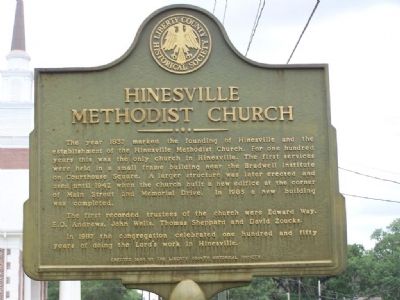
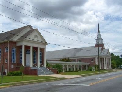
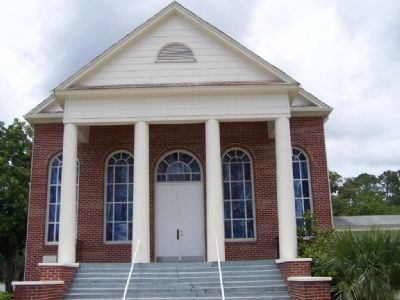
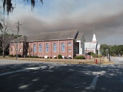
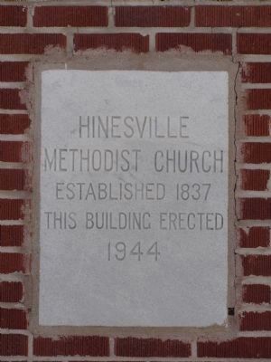
Hinesville Methodist Church
The first recorded trustees of the church were Edward Way, E.O. Andrews, John Wells, Thomas Sheppard and David Zoucks.
In 1987 the congregation celebrated one hundred and fifty years of doing the Lord`s work in Hinesville.
Erected 1998 by The Liberty County Historical Society.
Topics. This historical marker is listed in this topic list: Churches & Religion. A significant historical year for this entry is 1837.
Location. 31° 50.938′ N, 81° 35.761′ W. Marker is in Hinesville, Georgia, in Liberty County. Marker is at the intersection of North Main Street and Memorial Drive, on the right when traveling west on North Main Street. Located at the church 1 block north of court house in Hinesville. Touch for map. Marker is in this post office area: Hinesville GA 31313, United States of America. Touch for directions.
Other nearby markers. At least 8 other markers are within walking distance of this marker. Fort Morris Cannon (about 400 feet away, measured in a direct line); Charlton Hines House (about 500 feet away); Liberty County (about 500 feet away); Liberty County Confederate Monument (about 500 feet away); Bradwell Park (about 600 feet away); The Bacon-Fraser House (approx. 0.2 miles away); Old Liberty County Jail (approx. ¼ mile away); Bradwell Institute (approx. half a mile away). Touch for a list and map of all markers in Hinesville.
Credits. This page was last revised on October 21, 2020. It was originally submitted on July 8, 2008, by Mike Stroud of Bluffton, South Carolina. This page has been viewed 1,503 times since then and 100 times this year. Photos: 1, 2, 3. submitted on July 8, 2008, by Mike Stroud of Bluffton, South Carolina. 4, 5. submitted on April 12, 2011, by Lee Hattabaugh of Capshaw, Alabama. • Craig Swain was the editor who published this page.
