Santiago de Querétaro in Querétaro, Mexico — The Central Highlands (North America)
End of the Siege of Querétaro
Fin del Sitio de Querétaro
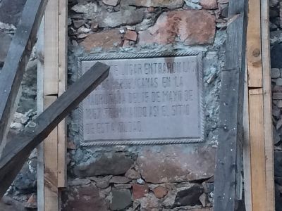
Inscription.
tropas republicanas en la
madrugada del 15 de mayo de
1867 terminando asi el sitio
de esta ciudad.
Republican troops broke through
during the early morning hours of
May 15, 1867, ending
the siege of this city.
Topics. This historical marker is listed in this topic list: Wars, Non-US. A significant historical date for this entry is May 15, 1867.
Location. 20° 35.589′ N, 100° 22.894′ W. Marker is in Santiago de Querétaro, Querétaro. Touch for map. Marker is in this post office area: Santiago de Querétaro QUE 76000, Mexico. Touch for directions.
Other nearby markers. At least 8 other markers are within walking distance of this marker. José Guadalupe Ramírez Álvarez (about 120 meters away, measured in a direct line); Ernesto Perusquía Layseca (about 120 meters away); Juan Nepomuceno Frías Fernández (about 120 meters away); Carlos Ramírez Llaca (about 120 meters away); Dr. Juan García Ramos (about 120 meters away); Miguel Ruíz Moncada (about 120 meters away); José María Truchuelo Ruíz (about 120 meters away); Ignacio Mariano de las Casas (about 120 meters away). Touch for a list and map of all markers in Santiago de Querétaro.
Regarding End of the Siege of Querétaro. The end of the Siege of Querétaro on May 15, 1867 effectively put an end to the Second Mexican Empire under the French and restored the Mexican Republic.

Photographed By J. Makali Bruton, October 28, 2015
2. End of the Siege of Querétaro Marker
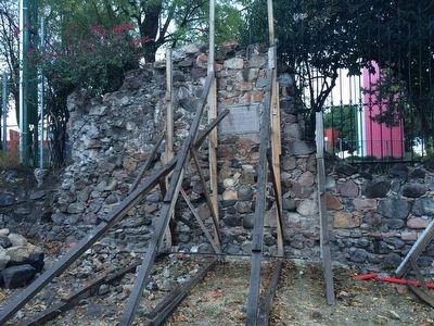
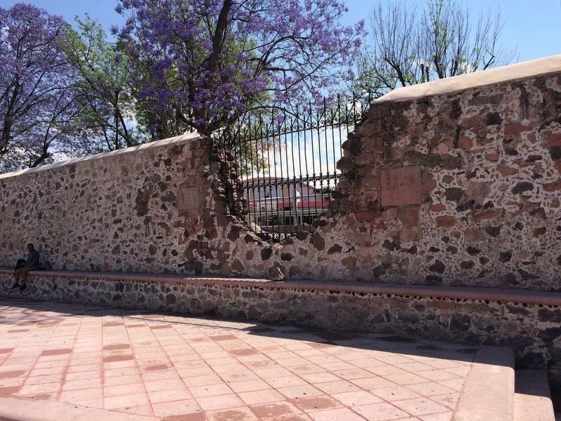
Construction is being done to repair and conserve the original wall of the siege and subsequent battles. To the right of the marker can be seen an area of the wall, protected by a wrought iron fence, that is believed to be the area where Republican forces actually breached the wall and ended the siege.

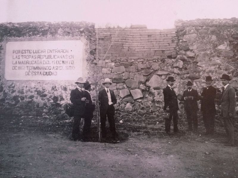
1900/1910
4. An earlier marker on the End of the Siege of Querétaro
This photo shows an earlier marker on the end of the siege of Querétaro, taken some time between 1900-1910. Interestingly, the text of the current marker is very similar to this earlier marker's text. This photo was part of an exhibition of the history of Querétaro at its Regional Museum on July 22, 2017.
Credits. This page was last revised on May 25, 2020. It was originally submitted on November 7, 2015, by J. Makali Bruton of Accra, Ghana. This page has been viewed 389 times since then and 20 times this year. Photos: 1, 2. submitted on November 7, 2015, by J. Makali Bruton of Accra, Ghana. 3. submitted on May 26, 2017, by J. Makali Bruton of Accra, Ghana. 4. submitted on July 23, 2017, by J. Makali Bruton of Accra, Ghana.

