Mound Bayou in Bolivar County, Mississippi — The American South (East South Central)
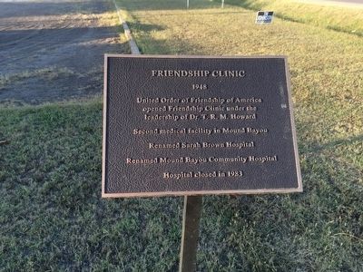
Friendship Clinic
1948
opened Friendship Clinic under the
leadership of Dr. T. R. M. Howard
Second medical facility in Mound Bayou
Renamed Sarah Brown Hospital
Renamed Mound Bayou Community Hospital
Hospital closed in 1983
Erected 2013 by Historic Mound Bayou Foundation & AARP.
Topics. This historical marker is listed in these topic lists: Notable Places • Science & Medicine. A significant historical year for this entry is 1983.
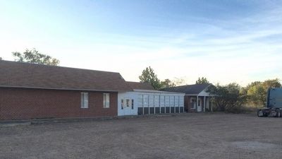
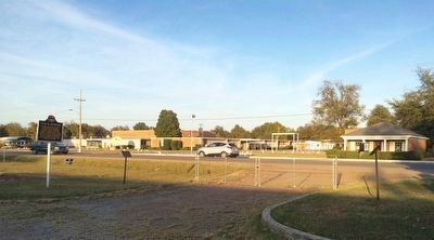
Location. 33° 52.838′ N, 90° 43.671′ W. Marker is in Mound Bayou, Mississippi, in Bolivar County. Marker is at the intersection of Edwards Avenue and Roosevelt Street, on the right when traveling south on Edwards Avenue. Touch for map. Marker is at or near this postal address: 205 Edwards Avenue, Mound Bayou MS 38762, United States of America. Touch for directions.
Other nearby markers. At least 8 other markers are within walking distance of this marker. T.R.M. Howard (here, next to this marker); Site of Mound Bayou Oil Mill & Manufacturing Company (a few steps from this marker); Mound Bayou (within shouting distance of this marker); Taborian Hospital (within shouting distance of this marker); Mound Bayou Blues (about 700 feet away, measured in a direct line); Newton (Keys) Hotel Site (approx. 0.2 miles away); AKA Mobile Health Project (approx. 0.6 miles away); Delta Health Center (approx. 0.6 miles away). Touch for a list and map of all markers in Mound Bayou.
Credits. This page was last revised on June 16, 2016. It was originally submitted on November 11, 2015, by Mark Hilton of Montgomery, Alabama. This page has been viewed 584 times since then and 27 times this year. Photos: 1, 2, 3, 4. submitted on November 11, 2015, by Mark Hilton of Montgomery, Alabama.


