Near Buckholts in Milam County, Texas — The American South (West South Central)
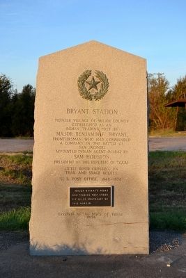
Bryant Station
Established as an
Indian trading post by
Major Benjamin F. Bryant,
frontiersman who had commanded
a company in the Battle of
San Jacinto.
Appointed Indian agent in 1842 by
Sam Houston
President of the Republic of Texas
Little River crossing on
trail and stage routes,
U.S. post office, 1848-1874
Erected by the State of Texas
1936
(Bronze tablet mounted to marker)
Major Bryant’s home and trading post stood six miles southeast of this marker.
Erected 1936 by State of Texas. (Marker Number 7939.)
Topics and series. This historical marker is listed in these topic lists: Native Americans • Roads & Vehicles • Settlements & Settlers. In addition, it is included in the Texas 1936 Centennial Markers and Monuments series list. A significant historical year for this entry is 1842.
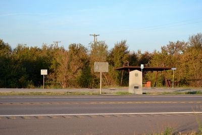
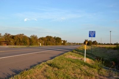
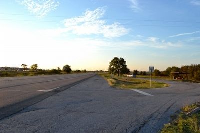
Location. 30° 54.62′ N, 97° 11.052′ W. Marker is near Buckholts, Texas, in Milam County. Marker is on U.S. 190, 0.2 miles County Road 104, on the right when traveling east. Marker is located in front of the roadside picnic area. Touch for map. Marker is in this post office area: Buckholts TX 76518, United States of America. Touch for directions.
Other nearby markers. At least 8 other markers are within 12 miles of this marker, measured as the crow flies. The Texas 36th Division Memorial Highway (here, next to this marker); Buckholts SPJST Lodge Hall (approx. 4.7 miles away); Saints Cyril and Methodius Catholic Church (approx. 6.9 miles away); Davilla Baptist Church (approx. 10.3 miles away); Donahoe Community (approx. 10.9 miles away); Sharp General Store (approx. 11.1 miles away); Sharp (approx. 11.1 miles away); Sharp Presbyterian Church (approx. 11.1 miles away). Touch for a list and map of all markers in Buckholts.
Also see . . . Bryant Station, TX. From the Texas State Historical Association’s “Handbook of Texas Online”. (Submitted on November 16, 2015.)
Credits. This page was last revised on June 16, 2016. It was originally submitted on November 16, 2015, by Duane Hall of Abilene, Texas. This page has been viewed 503 times since then and 31 times this year. Photos: 1, 2, 3, 4. submitted on November 16, 2015, by Duane Hall of Abilene, Texas.


