Near Manassas in Prince William County, Virginia — The American South (Mid-Atlantic)
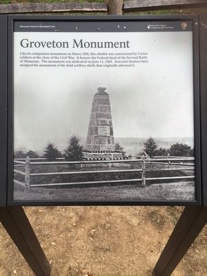
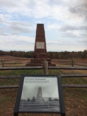
Groveton Monument
Erected by Manassas National Battlefield Park, National Park Service, U.S. Department of the Interior.
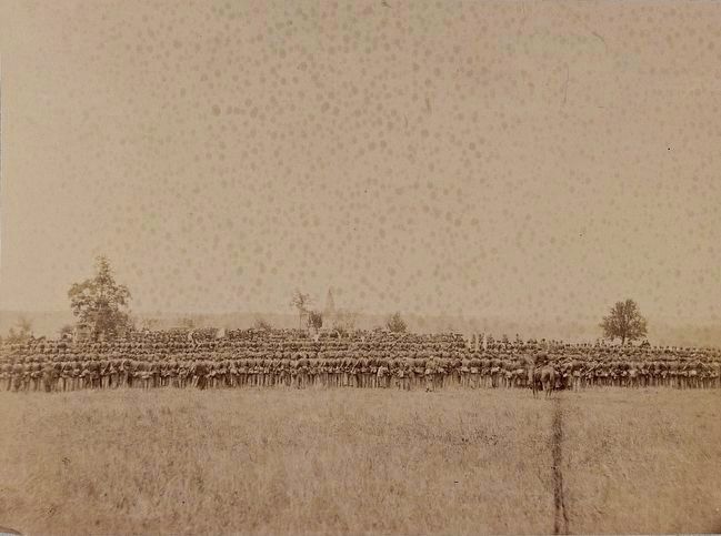
Topics. This historical marker and monument is listed in these topic lists: Military • War, US Civil. A significant historical date for this entry is June 11, 1865.
Location. 38° 49.254′ N, 77° 33.241′ W. Marker is near Manassas, Virginia, in Prince William County. Marker can be reached from Featherbed Lane, half a mile north of Lee Highway (U.S. 29), on the left when traveling north. Marker is located along the Deep Cut Loop Trail, directly in front of the Groveton Monument. The Deep Cut Loop Trail is located at Stop 7 of the Manassas National Battlefield Park Driving Tour. Touch for map. Marker is in this post office area: Gainesville VA 20155, United States of America. Touch for directions.
Other nearby markers. At least 8 other markers are within walking distance of this marker. Groveton Memorial (here, next to this marker); 13th New York Infantry (a few steps from this marker); 83rd Pennsylvania Infantry (within shouting distance of this marker); The Rock Fight (within shouting distance of this marker); a different marker also named The Rock Fight (within shouting distance of this marker); 24th New York Infantry (about 300 feet away, measured in a direct line); Fourth Brigade (about 300 feet away); Second Brigade (about 400 feet away). Touch for a list and map of all markers in Manassas.
Also see . . .
1. Manassas National Battlefield Park. National Park Service (Submitted on November 23, 2015.)
2. Old Marker at this Location. This marker replaced an older one at this location titled “Second Bull Run Monument” (Submitted on November 23, 2015.)

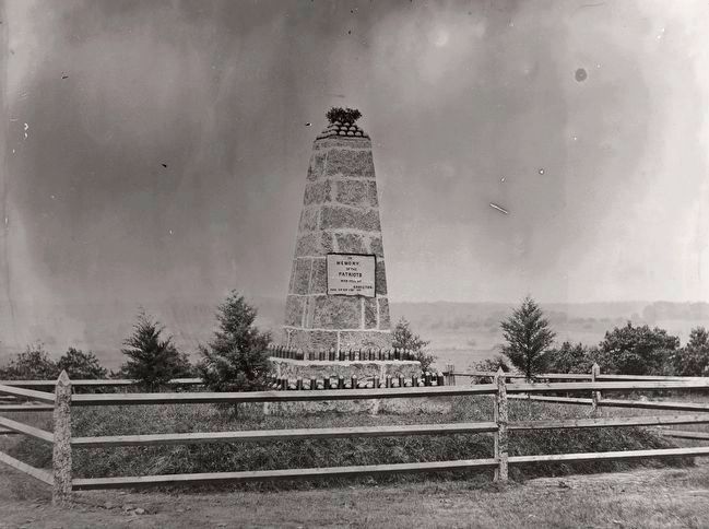
circa 1865
3. Monument on Battlefield of Groveton
Photo courtesy of the Library of Congress, and is indicated to have been taken between 1862-1865, although 1865 seems much more likely given the dedication date of the monument. This is the same photo as on the marker; cropped approximately 20 percent to match the cropping on the marker photo.
Credits. This page was last revised on January 8, 2023. It was originally submitted on November 21, 2015, by Shane Oliver of Richmond, Virginia. This page has been viewed 517 times since then and 38 times this year. Photos: 1, 2. submitted on November 21, 2015, by Shane Oliver of Richmond, Virginia. 3, 4. submitted on November 23, 2015. • Bernard Fisher was the editor who published this page.


