Maumee in Lucas County, Ohio — The American Midwest (Great Lakes)
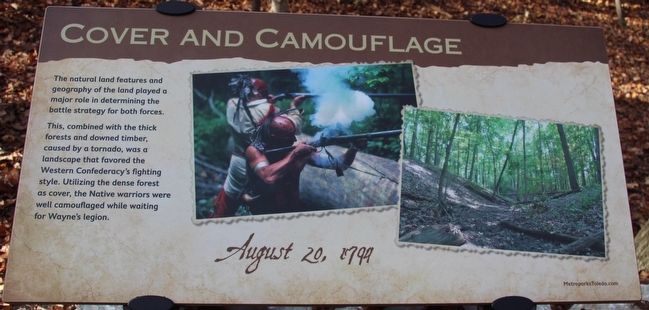
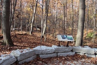
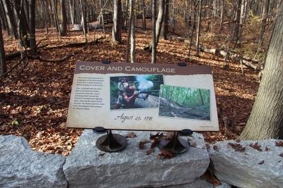
Cover and Camouflage
— August 20, 1794 —
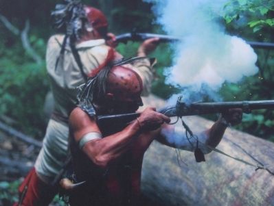
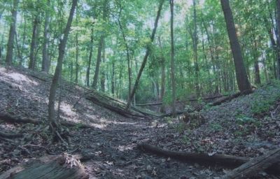
This, combined with the thick forests and downed timber, caused by a tornado, was a landscape that favored the Western Confederacy's fighting style. Utilizing the dense forest as cover, the Native warriors were well camouflaged while waiting for Wayne's legion.
Erected by Metroparks of the Toledo Area.
Topics. This historical marker is listed in these topic lists: Environment • Native Americans • Wars, US Indian. A significant historical date for this entry is August 20, 1794.
Location. 41° 32.971′ N, 83° 41.645′ W. Marker is in Maumee, Ohio, in Lucas County. Marker can be reached from North Jerome Road south of Monclova Road, on the left when traveling south. This marker is located on the grounds of the Fallen Timbers Battlefield, Metropark, in a densely wooded forest area, and is the sixth in a series of markers seen along the Fallen Timbers Battlefield, walking trail. Touch for map. Marker is in this post office area: Maumee OH 43537, United States of America. Touch for directions.
Other nearby markers. At least 8 other markers are within walking distance of this marker. Caught Off Guard (a few steps from this marker); A Long March (within shouting distance of this marker); Fighting Forces (about 500 feet away, measured in a direct line); Early American Defeats (about 600 feet away); Unfair Negotiations (approx. 0.2 miles away); The Battle Ends (approx. 0.2 miles away); Ready, Aim, Fire! (approx. 0.2 miles away); The Battle Begins (approx. 0.2 miles away). Touch for a list and map of all markers in Maumee.
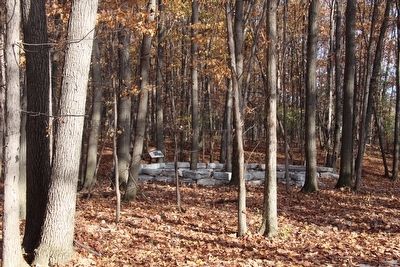
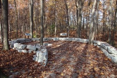
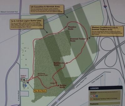
More about this marker. This particular marker is one of two markers located in an area that is off the main park trail known as the "Ravine Node." The node area is partially surrounded by a number of large, rough cut, rectangular, stones, overlooking a nearby ravine.
Regarding Cover and Camouflage. Back in the 1980s, when I taught Ohio History to students in the nearby Oregon City School system, all of the textbooks, as well as most of the history books, indicated that the Battle of Fallen Timbers took place on the other side (east side) of the Anthony Wayne Trail, on the floodplains and nearby ridge of the Maumee River valley. However, in 1995, Dr. Pratt used a line of volunteers with metal detectors, to help him to conduct an archaeological survey, to prove that the most significant
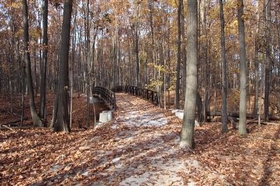
fighting in the battle had taken place where this park is presently located. As I recall, when Dr. Pratt did his research on the Battle of Fallen Timbers, he indicated that the repeated reference, in numerous battlefield accounts, to a key topographical feature in the battleground landscape was a ravine. As I recall, he indicated that this ravine was missing in what was then presumed to be the battlefield area, and that fact in turn caused him to attempt to locate a nearby landscape that better matched what he believed was the described, battlefield topography. Once again, as I recall from the local accounts of his research, the locating of this particular ravine, where the park’s “Ravine Node” is situated, was a key factor in his choosing of this area to conduct his archaeological survey.
Credits. This page was last revised on June 16, 2016. It was originally submitted on November 25, 2015, by Dale K. Benington of Toledo, Ohio. This page has been viewed 360 times since then and 16 times this year. Photos: 1, 2, 3, 4, 5, 6, 7, 8, 9. submitted on November 25, 2015, by Dale K. Benington of Toledo, Ohio.
