Fort Recovery in Mercer County, Ohio — The American Midwest (Great Lakes)
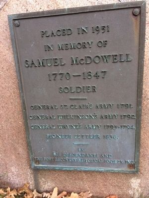
Samuel McDowell
in memory of
Samuel McDowell
1770-1847
Soldier
General St. Clair's Army 1791
General Wilkinson's Army 1792
General Wayne's Army 1793-1794
Pioneer Settler 1838
by His Descendants and the Fort Recovery Historical Society Inc.
Erected 1951 by Fort Recovery Historical Society Inc.
Topics. This historical marker is listed in these topic lists: Forts and Castles • Wars, US Indian.
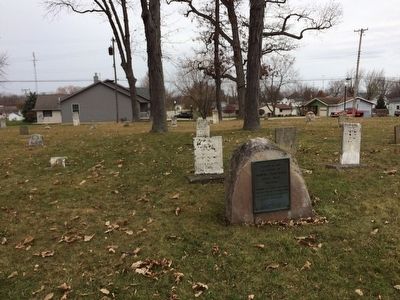
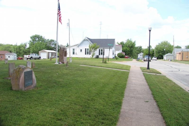
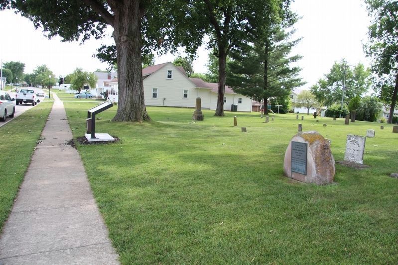
Location. 40° 24.652′ N, 84° 46.887′ W. Marker is in Fort Recovery, Ohio, in Mercer County. Marker is at the intersection of Washington Street and Gwendolyn Street on Washington Street. Touch for map. Marker is in this post office area: Fort Recovery OH 45846, United States of America. Touch for directions.
Other nearby markers. At least 8 other markers are within walking distance of this marker. Burying the U.S. Army Dead (a few steps from this marker); Pioneer Cemetery (a few steps from this marker); 101 North Wayne Street (approx. 0.2 miles away); VanTrees Donation (approx. 0.2 miles away); The Greeneville Treaty Boundary Line (approx. 0.2 miles away); Sha'anoe Warrior Monument (approx. 0.2 miles away); Gen. Richard Butler (approx. 0.2 miles away); The Battle of Fallen Timbers and the Treaty of Greeneville (approx. 0.2 miles away). Touch for a list and map of all markers in Fort Recovery.
Also see . . . Fort Recovery - Wikipedia. (Submitted on November 26, 2015, by Bill Pfingsten of Bel Air, Maryland.)
Credits. This page was last revised on August 5, 2019. It was originally submitted on November 25, 2015, by Michael Baker of Lima, Ohio. This page has been viewed 556 times since then and 22 times this year. Photos: 1, 2. submitted on November 25, 2015, by Michael Baker of Lima, Ohio. 3, 4. submitted on August 5, 2019, by Dale K. Benington of Toledo, Ohio. • Bill Pfingsten was the editor who published this page.


