Ticonderoga in Essex County, New York — The American Northeast (Mid-Atlantic)
Fort Ticonderoga
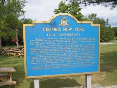
Historic New York
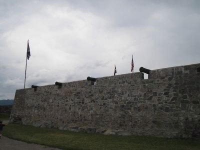
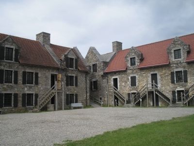
The French constructed here in 1755 the stronghold they named Carillon, and made it a base to attack their English rivals. In 1758, Carillon, under Marquis de Montcalm, withstood assault by superior British forces. The next year Jeffery Amherst’s troops captured Carillon and forced the French to retreat from Lake Champlain. The British renamed the fortress Fort Ticonderoga.
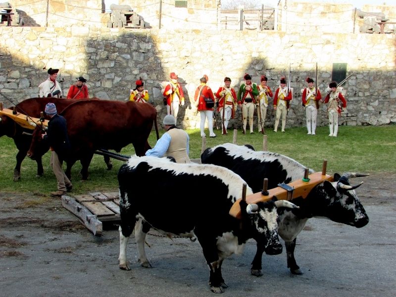
During the American Revolution, Ethan Allen and his Green Mountain Boys captured Ticonderoga in a surprise attack, May 10, 1775. Cannon hauled from Ticonderoga to Boston helped George Washington drive the British from that city. In July, 1777, General Burgoyne’s invading army overwhelmed the American fort, and Ticonderoga again became British. Americans unsuccessfully attacked the fort in September, 1777; later the British abandoned it.
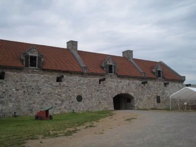
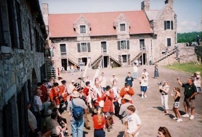
In 1816, William Ferris Pell acquired the fort. His descendants began its restoration and in 1909 opened Ticonderoga to the public. Now the Fort Ticonderoga Association maintains the historic fort and its military museum.
Erected 1967 by New York State Education Department.
Topics and series. This historical marker is listed in these topic lists: Colonial Era • Forts and Castles • Military • War, French and Indian • War, US Revolutionary. In addition, it is included in the Historic New York State series list. A significant historical date for this entry is May 10, 1775.
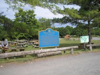
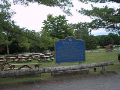
Location. 43° 50.539′ N, 73° 23.343′ W. Marker is in Ticonderoga, New York, in Essex County. Marker is on Sandy Redoubt, on the right when traveling east. Marker is in the picnic area near the entrance to Fort Ticonderoga off Route 74. Touch for map. Marker is in this post office area: Ticonderoga NY 12883, United States of America. Touch for directions.
Other nearby markers. At least 8 other markers are within walking distance of this marker. Historic Waterways (within shouting distance of this marker); History of Fort Ticonderoga (within shouting distance of this marker); Fort Carillon (about 400 feet away, measured in a direct line); Split 13-inch Mortar (about 400 feet away); Colonel John Brown (about 400 feet away); Preservation and Restoration at Ticonderoga (about 400 feet away); Gen. Henry Knox Trail (about 500 feet away); 200th Anniversary of Washington’s Inspection (about 500 feet away). Touch for a list and map of all markers in Ticonderoga.
Also see . . .
1. Fort Ticonderoga National Historic Landmark.
(Submitted on July 12, 2008, by Bill Coughlin of Woodland Park, New Jersey.)
2. Fort Ticonderoga/Mount Independence National Historic Landmark - National Park Service. Download National Historic Landmark documentation (Submitted on February 6, 2024, by Anton Schwarzmueller of Wilson, New York.)
Credits. This page was last revised on February 6, 2024. It was originally submitted on July 12, 2008, by Bill Coughlin of Woodland Park, New Jersey. This page has been viewed 3,802 times since then and 47 times this year. Photos: 1, 2, 3, 4, 5, 6. submitted on July 12, 2008, by Bill Coughlin of Woodland Park, New Jersey. 7. submitted on November 11, 2018, by Bill Coughlin of Woodland Park, New Jersey. 8. submitted on February 20, 2012, by S B of Sacramento, California.
