Guntown in Lee County, Mississippi — The American South (East South Central)
Tyler's Flanking Maneuver
"Hit 'em on the e-e-end!"
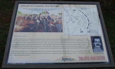
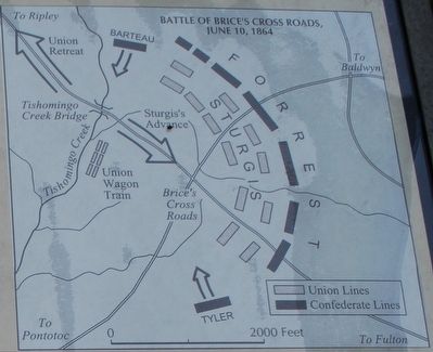
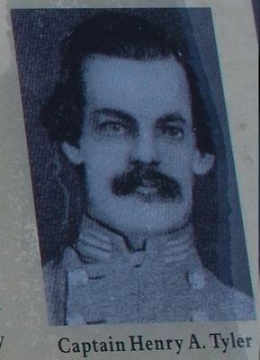
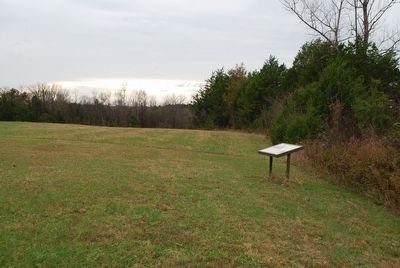
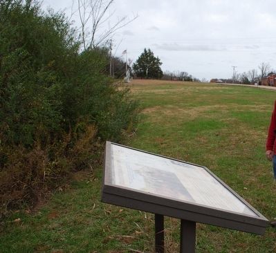
As Nathan Bedford Forrest closed on the Union defenders at the critical intersection at Brice's Crossroads, he dispatched two companies of the Twelfth Kentucky under Captain Henry A. Tyler, along with his personal escort, with instructions to extend the Confederate left, locate the Federals, and "Hit 'em on the e-e-end," in the direction of the Pontotoc Road (see map). This action enabled Forrest to protect his line and threaten the Union right flank, in conjunction with a separate attack on the Federal left by Colonel Clark Barteau that accomplished a classic double envelopment of their opponents. The pressure allowed the Confederates to gain the key position on the battlefield. "It was but a few minutes when we all met as the cross-roads," Tyler noted. "We were certainly a happy and enthusiastic band." For, Samuel Sturgis's demoralized forces the enthusiasm lay in retreating beyond Tishomingo Creek.
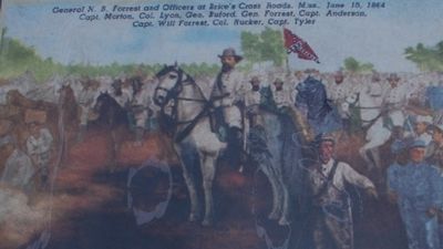
Captain Tyler revisited the Brice's Crossroads battlefield in 1908 with another veteran and artist Frederick Ruple. He served as a consultant for the action at "the salient point" of the engagement and insisted upon the inclusion of the appropriate persons in the image (seen above). "This picture must show men...who were actually in the front."
caption to picture
General N.B. Forrest and Officers at Brice's Crossroads, Miss. June 10, 1864
Capt. Morton, Col. Lyon, Gen. Buford, Gen. Forrest, Capt. Anderson
Capt. Will Forrest, Col Rucker, Capt. Tyler
Erected by The Civil War Center - Kennesaw State University.
Topics. This historical marker is listed in this topic list: War, US Civil. A significant historical date for this entry is June 10, 1864.
Location. 34° 30.302′ N, 88° 43.796′ W. Marker is in Guntown, Mississippi, in Lee County. Marker is at the intersection of County Route 2902 and County Route 370, on the right when traveling south on County Route 2902. Touch for map. Marker is in this post office area: Guntown MS 38849, United States of America. Touch for directions.
Other nearby markers. At least 8 other markers are within walking distance of this marker. Morton's Battery (within shouting distance of this marker); Bethany A.R.P. Church (about 300 feet away, measured in a direct line); Brice Home (about 400 feet away); Battle of Brice's Cross Roads (about 600 feet away); a different marker also named Battle of Brices Cross Roads (about 600 feet away); General Sturgis' Supreme Effort (about 600 feet away); Federal's Second Battle Line (approx. 0.2 miles away); Brice's Cross Roads (approx. 0.2 miles away).
Also see . . . Brices Cross Roads National Battlefield Site. National Park Service (Submitted on December 4, 2015.)
Credits. This page was last revised on June 16, 2016. It was originally submitted on December 3, 2015, by Brandon Fletcher of Chattanooga, Tennessee. This page has been viewed 423 times since then and 18 times this year. Photos: 1, 2, 3, 4, 5, 6. submitted on December 3, 2015, by Brandon Fletcher of Chattanooga, Tennessee. • Bernard Fisher was the editor who published this page.
