Near Canyon in Randall County, Texas — The American South (West South Central)
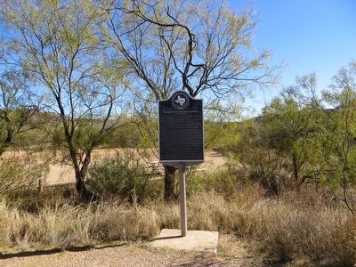
The Battle of Palo Duro Canyon
September 28, 1874
The 4th Cavalry under Col. Ranald S. Mackenzie, moving north from Fort Concho, tracked a large band of Indians to their secret canyon camp.
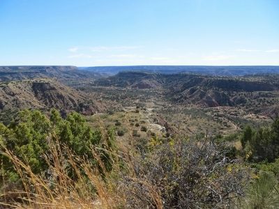
Moving silently at dawn down a perilous path on the south rim, the first troops reached the floor of the canyon before the aroused camp fled.
Some of the warriors took up positions on the canyon walls from which they fired on the troops, seeking to give their families time to escape.
Realizing his tactical disadvantage, Mackenzie ordered the Indian camp and supplies burned and withdrew, taking along 1,400 captured horses (1,000 of which he later destroyed).
The cavalry suffered no causalities in the fight and only four Indian dead were counted.
Having lost half their horses as well as all their supplies and shelter, the Indians drifted back to their reservations at Fort Sill and Fort Reno.
Erected 1967 by State Historical Survey Committee. (Marker Number 5290.)
Topics. This historical marker is listed in these topic lists: Native Americans • Wars, US Indian.
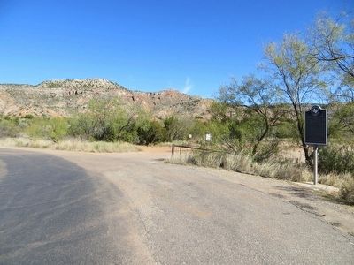
Location. 34° 55.889′ N, 101° 38.119′ W. Marker is near Canyon, Texas, in Randall County. Marker is on State Hwy Park Road 5, 8 miles south of Texas Highway 217, on the right when traveling south. Marker is at the far south end of Palo Duro Canyon State Park. Touch for map. Marker is in this post office area: Canyon TX 79015, United States of America. Touch for directions.
Other nearby markers. At least 8 other markers are within 15 miles of this marker, measured as the crow flies. High Water Mark (approx. 3.2 miles away); The Civilian Conservation Corps at Palo Duro Canyon State Park (approx. 4.6 miles away); The Old JA Ranch (approx. 5.2 miles away); Quanah Parker Trail (approx. 5.6 miles away); St. Paul Lutheran Cemetery (approx. 10.7 miles away); a different marker also named Quanah Parker Trail (approx. 10.9 miles away); Palisades State Park Concession Building (approx. 13˝ miles away); Hamblen Drive (approx. 14.6 miles away). Touch for a list and map of all markers in Canyon.
Credits. This page was last revised on June 16, 2016. It was originally submitted on December 13, 2015, by Bill Kirchner of Tucson, Arizona. This page has been viewed 1,502 times since then and 192 times this year. Photos: 1, 2, 3, 4. submitted on December 13, 2015, by Bill Kirchner of Tucson, Arizona.


