Henrico in Henrico County, Virginia — The American South (Mid-Atlantic)
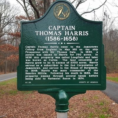
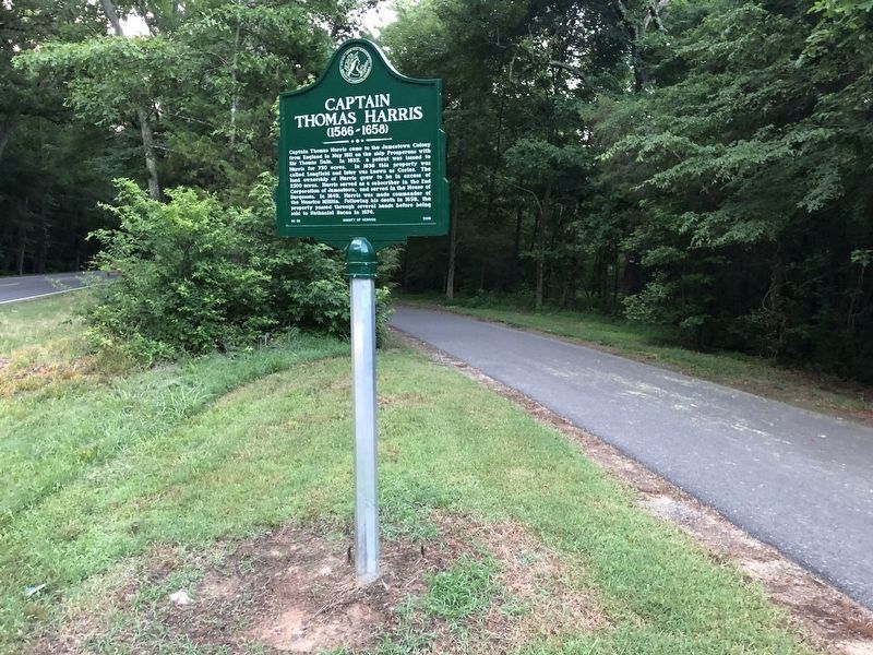
Captain Thomas Harris
(1586-1658)
Erected 2019 by County of Henrico. (Marker Number HC-38.)
Topics. This historical marker is listed in these topic lists: Colonial Era • Government & Politics • Settlements & Settlers. A significant historical month for this entry is May 1611.
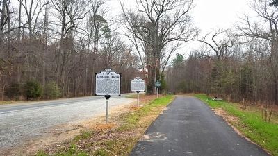
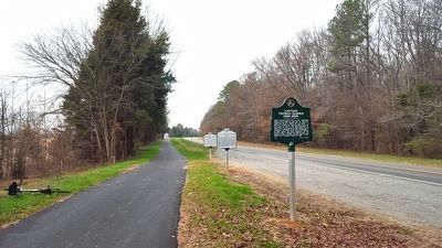
Location. 37° 24.441′ N, 77° 16.636′ W. Marker is in Henrico, Virginia, in Henrico County. Marker is on New Market Road (Virginia Route 5) 0.6 miles east of Curles Neck Road, on the right when traveling east. Touch for map. Marker is in this post office area: Henrico VA 23231, United States of America. Touch for directions.
Other nearby markers. At least 8 other markers are within 2 miles of this marker, measured as the crow flies. Curles Neck and Bremo (here, next to this marker); Nathaniel Bacon (within shouting distance of this marker); James Crewes (approx. 0.4 miles away); Turkey Island Mansion (approx. 0.4 miles away); Engagement at Malvern Cliffs (approx. 0.4 miles away); The Flood of 1771 (approx. 0.4 miles away); Turkey Island (approx. 0.4 miles away); First Battle of Deep Bottom (approx. 1.2 miles away). Touch for a list and map of all markers in Henrico.
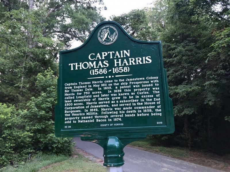
Photographed By Devry Becker Jones (CC0), June 26, 2021
2. Captain Thomas Harris Marker (updated)
A date was added.
Credits. This page was last revised on November 5, 2021. It was originally submitted on December 14, 2015, by Bernard Fisher of Richmond, Virginia. This page has been viewed 1,915 times since then and 159 times this year. Photos: 1. submitted on December 14, 2015, by Bernard Fisher of Richmond, Virginia. 2. submitted on June 26, 2021, by Devry Becker Jones of Washington, District of Columbia. 3, 4. submitted on December 14, 2015, by Bernard Fisher of Richmond, Virginia. 5. submitted on June 26, 2021, by Devry Becker Jones of Washington, District of Columbia.
