Amarillo in Potter County, Texas — The American South (West South Central)
Gregg Trail
Side A:
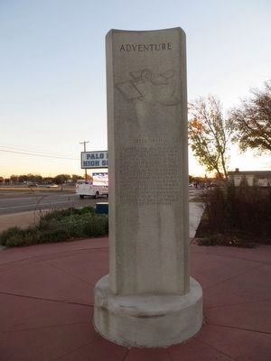
Adventure
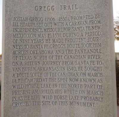
Gregg Trail
Josiah Gregg (1806 1850), prompted by ill health, set out with a caravan from Independence, Missouri, for Santa Fe, New Mexico, on May 15, 1831. During a period of nine years he made frequent journeys to Santa Fe. Greggs route took him across Oklahoma and the Panhandle of Texas north of the Canadian River. On a return journey from Santa Fe to Van Buren, Arkansas, in 1840, he sought a route south of the Canadian. On March 14, he camped at the spot now known as Wild Horse Lake in the north part of present Amarillo. His route on March 15, as he left Wild Horse Lake, probably crossed the site of this monument.
Side B:
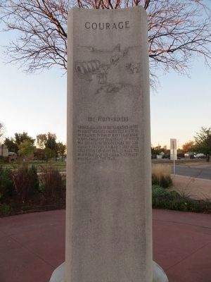
Courage
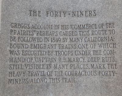
The Forty – Niners
Greggs account in his “Commerce of the Prairies” perhaps caused this route to be followed in 1849 by many California-bound emigrant trains, one of which was escorted by troops under the command of Captain R.B. Marcy. Deep ruts, still visible in many places, mark the heavy travel of the courageous Forty-Niners along this trail.
Side C:
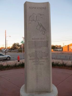
Aspirations
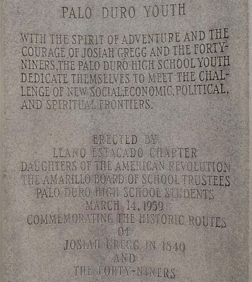
Palo Duro Youth
With the spirit of adventure and the courage of Josiah Gregg and the Forty-Niners, the Palo Duro High School youth dedicate themselves to meet the challenge of new social, economic, political, and spiritual frontiers.
Erected 1959 by Llano Estacado Chapter Daughters of the American Revolution (DAR), The Amarillo Board of School Trustees, and Palo Duro High School Students.
Topics and series. This historical marker is listed in these topic lists: Exploration • Roads & Vehicles. In addition, it is included in the Daughters of the American Revolution series list. A significant historical date for this entry is March 14, 1831.
Location. 35° 13.754′ N, 101° 49.502′ W. Marker is in Amarillo, Texas, in Potter County. Marker is at the intersection of NE 15th Avenue and North Grant Street, on the right when traveling east on NE 15th Avenue. Marker is on the southeast corner. Touch for map. Marker is in this post office area: Amarillo TX 79107, United States of America. Touch for directions.
Other nearby markers. At least 8 other markers are within 2 miles of this marker, measured as the crow flies. Judge James Nathan Browning (approx. 0.8 miles away); General Ernest O. Thompson (approx. 0.8 miles away); Fort Worth and Denver City Railway (approx. 1.2 miles away); A.T. & S.F. No. 5000 (approx. 1.3 miles away); Henry B. Sanborn (approx. 1˝ miles away); Wild Horse Lake (approx. 1˝ miles away); Rick Husband (approx. 1˝ miles away); Amarillo (approx. 1.6 miles away). Touch for a list and map of all markers in Amarillo.
Credits. This page was last revised on February 14, 2024. It was originally submitted on December 18, 2015, by Bill Kirchner of Tucson, Arizona. This page has been viewed 653 times since then and 47 times this year. Last updated on February 13, 2024, by Carolyn Sanders of Plano, Texas. Photos: 1, 2, 3, 4, 5, 6. submitted on December 18, 2015, by Bill Kirchner of Tucson, Arizona. • James Hulse was the editor who published this page.
