Riverdale in Gratiot County, Michigan — The American Midwest (Great Lakes)
Lumberjack Park
Side 1
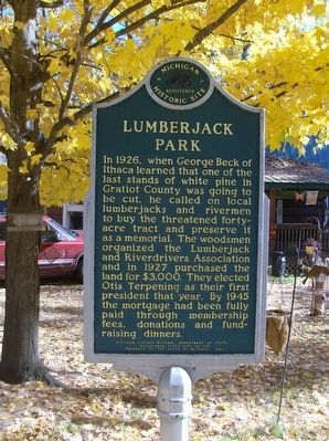
In 1926, when George Beck of Ithaca learned that one of the last stands of white pine in Gratiot County was going to be cut, he called on local lumberjacks and rivermen to buy the threatened forty-acre tract and preserve it as a memorial. The woodsmen organized the Lumberjack and Riverdrivers Association and in 1927 purchased the land for $3,000. They elected Otis Terpening as their first president that year. By 1945 the mortgage had been fully paid through membership fees, donations and fundraising dinners.
Side 2
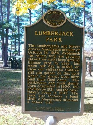
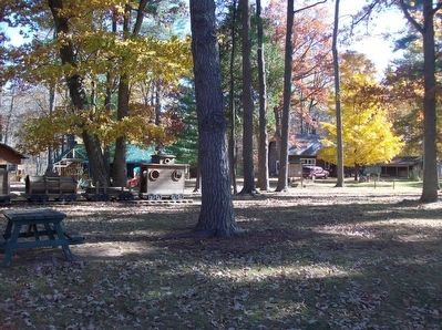
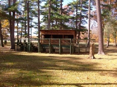
The Lumberjack and Riverdrivers Association minutes of October 18, 1934, explained: "we shanty boys are growing old and our ranks keep getting thinner year by year, but when our day is ended we know our children's children still can gather on this spot where the shanty boys have built their final camp." The bunkhouse and cook shanty were completed in 1930, the pavilion by 1931, and the caretaker's house in 1947. The park also features a band shell, a playground area and a nature trail.
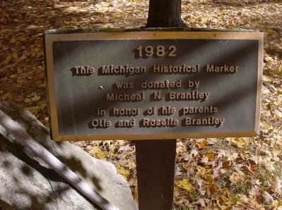
Erected 1982 by Michigan History Division, Department of State. (Marker Number L0545.)
Topics and series. This historical marker is listed in these topic lists: Environment • Horticulture & Forestry . In addition, it is included in the Michigan Historical Commission series list. A significant historical date for this entry is October 18, 1934.
Location. 43° 25.503′ N, 84° 50.113′ W. Marker is in Riverdale, Michigan, in Gratiot County. Marker can be reached from North Lumberjack Road near Madison Road. Marker is along the main road through Lumberjack Park. Lumberjack Park is about 1.3 miles north of state highway 46. Touch for map. Marker is at or near this postal address: 9160 N Lumberjack Rd, Riverdale MI 48877, United States of America. Touch for directions.
Other nearby markers. At least 8 other markers are within 12 miles of this marker, measured as the crow flies. Dedicated to All Veterans of All Wars (approx. 4 miles away); Site of Folsom Hall (approx. 8.9 miles away); Site of Old Main (approx. 8.9 miles away); Alma College (approx. 8.9 miles away); Michigan Masonic Home (approx. 8.9 miles away); Power House (approx. 9.7 miles away); Shepherd World War II Memorial (approx. 9.8 miles away); Central Michigan University (approx. 11.1 miles away).
Credits. This page was last revised on March 13, 2021. It was originally submitted on December 19, 2015, by Joel Seewald of Madison Heights, Michigan. This page has been viewed 844 times since then and 72 times this year. Photos: 1, 2, 3, 4, 5, 6. submitted on December 19, 2015, by Joel Seewald of Madison Heights, Michigan.
