Mount Pleasant in Isabella County, Michigan — The American Midwest (Great Lakes)
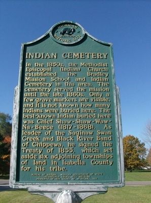
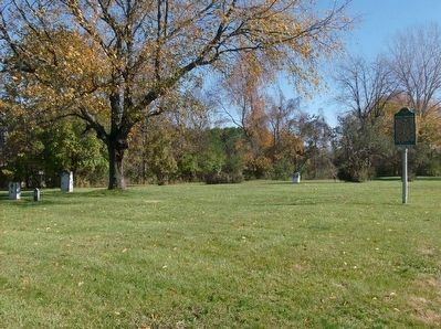
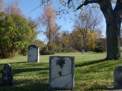
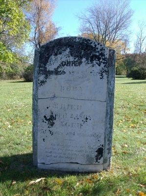
Indian Cemetery
Erected 1987 by Bureau of History, Michigan Department of State. (Marker Number L1298.)
Topics and series. This historical marker is listed in these topic lists: Cemeteries & Burial Sites • Native Americans. In addition, it is included in the Michigan Historical Commission series list. A significant historical year for this entry is 1855.
Location. 43° 37.139′ N, 84° 47.853′ W. Marker is in Mount Pleasant, Michigan, in Isabella County. Marker is on South Bamber Road near O'Connor Drive, on the right when traveling north. Marker is about 1.5 miles north of West High Street (Michigan State Highway 20). Touch for map. Marker is in this post office area: Mount Pleasant MI 48858, United States of America. Touch for directions.
Other nearby markers. At least 8 other markers are within 2 miles of this marker, measured as the crow flies. The Isabella County Court House was already over thirty years old… (approx. 1.4 miles away); Isabella County Courthouse Postcards (approx. 1.4 miles away); Isabella County Courthouse and Jail (approx. 1.4 miles away); Isabella County Seat / The Founding of Mount Pleasant (approx. 1.4 miles away); Doughty House (approx. 1˝ miles away); Central Michigan University (approx. 1˝ miles away); Indian Mills (approx. 1.6 miles away); Sacred Heart Academy (approx. 1.6 miles away). Touch for a list and map of all markers in Mount Pleasant.
Credits. This page was last revised on June 16, 2016. It was originally submitted on December 20, 2015, by Joel Seewald of Madison Heights, Michigan. This page has been viewed 634 times since then and 49 times this year. Photos: 1, 2, 3, 4. submitted on December 20, 2015, by Joel Seewald of Madison Heights, Michigan.


