Lindale in Smith County, Texas — The American South (West South Central)
Duck Creek Soil Erosion Project
Inscription.
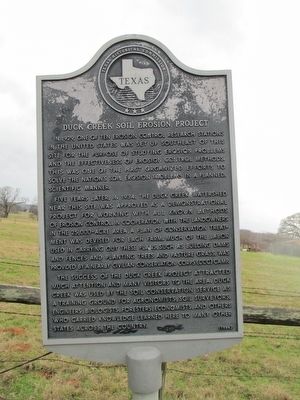
In 1929, one of ten erosion control research stations in the United States was set up southeast of this site for the purpose of studying erosion problems and the effectiveness of erosion control methods. This was one of the first organized efforts to solve the nation's soil erosion problems in a planned, scientific manner.
Five years later, in 1934, the Duck Creek watershed near this site was approved as a demonstrational project for working with all known methods of erosion control. In cooperation with the landowners in the 25,000-acre area, a plan of conservation treatment was devised for each farm. Much of the labor used in carrying out these plans, such as building dams and fences and planting trees and pasture grass, was provided by a nearby Civilian Conservation Corps (CCC) camp.
The success of the Duck Creek project attracted much attention and many visitors to the area. Duck Creek was used by the Soil Conservation Service as a training ground for agronomists, soil surveyors, engineers, biologists, foresters, economists, and others who carried knowledge learned here to many other states across the country.
Erected 1984 by Texas Historical Commission. (Marker Number 7722.)
Topics. This historical marker is listed in these topic lists: Agriculture • Horticulture & Forestry. A significant historical year for this entry is 1929.
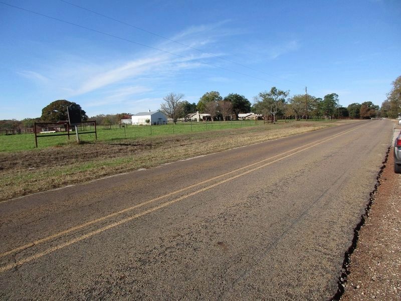
Location. 32° 33.056′ N, 95° 27.463′ W. Marker is in Lindale, Texas, in Smith County. Marker is on Old Mineola Highway (County Route 431) 0.1 miles south of Lem Pool Road (County Route 4419), on the left when traveling north. Touch for map. Marker is at or near this postal address: 19482 Old Mineola Highway, Lindale TX 75771, United States of America. Touch for directions.
Other nearby markers. At least 8 other markers are within 6 miles of this marker, measured as the crow flies. Site of Flora (approx. ¼ mile away); Vial-Fragosa Trail (approx. 2.7 miles away); Flewellen-Thweatt Cemetery (approx. 3.1 miles away); Hubbard Family Cemetery (approx. 3.1 miles away); Whisenhunt-Kinzie House (approx. 3.8 miles away); Sabine Methodist Church (approx. 4 miles away); Camp of the Army of the Republic of Texas (approx. 4.2 miles away); Bethesda Presbyterian Church and Cemetery (approx. 5.7 miles away). Touch for a list and map of all markers in Lindale.
Credits. This page was last revised on November 28, 2023. It was originally submitted on December 26, 2015, by Randal B. Gilbert of Tyler, Texas. This page has been viewed 500 times since then and 21 times this year. Photos: 1. submitted on December 26, 2015, by Randal B. Gilbert of Tyler, Texas. 2. submitted on November 27, 2023, by Jeff Leichsenring of Garland, Texas. • Bernard Fisher was the editor who published this page.

