Stateline in Douglas County, Nevada — The American Mountains (Southwest)
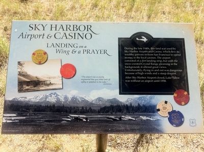
Sky Harbor Airport and Casino
Landing on a Wing & a Prayer
After Sky Harbor Airport closed, Lake Tahoe was without an airport until 1958.
"The airport was so poorly engineered that you either took off safely or splashed in the Lake." - anonymous
Erected by US Forest Service.
Topics. This historical marker is listed in these topic lists: Air & Space • Entertainment • Industry & Commerce. A significant historical year for this entry is 1958.
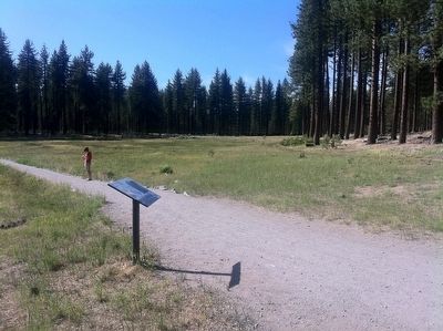
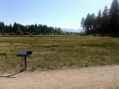
Location. 38° 58.579′ N, 119° 56.565′ W. Marker is in Stateline, Nevada, in Douglas County. Marker can be reached from the intersection of Kahle Road and Route 50. This marker is located on the Lam Watah Historic Trail. The trailhead and parking lot are on Kahle Road, just off of US 50. The marker is perhaps half a mile in, ~10-12 minutes walk over level ground, just through the first grove of trees when walking towards the lake. Touch for map. Marker is in this post office area: Stateline NV 89449, United States of America. Touch for directions.
Other nearby markers. At least 8 other markers are within 3 miles of this marker, measured as the crow flies. Friday’s Added Station (approx. 0.9 miles away); The Pony Express (approx. 1.1 miles away); Lakeside Beach History (approx. 1.2 miles away in California); Pony Express State Line Crossing (approx. 1.2 miles away); Jack’s Ranch (approx. 1.6 miles away in California); Henry Van Sickle (approx. 1.6 miles away in California); Veterans Memorial (approx. 1.9 miles away in California); South Lake Tahoe Library Veterans Memorial (approx. 2.8 miles away in California). Touch for a list and map of all markers in Stateline.
Also see . . . Abandoned & Little Known Airports: Northwestern Nevada. Reviews a number of small or disappeared airports, including this one (scroll down a bit for pictures of Sky Harbor). (Submitted on December 28, 2015.)
Credits. This page was last revised on June 16, 2016. It was originally submitted on December 28, 2015, by Andrew Ruppenstein of Lamorinda, California. This page has been viewed 641 times since then and 40 times this year. Photos: 1, 2, 3. submitted on December 28, 2015, by Andrew Ruppenstein of Lamorinda, California.


