Near Selma in Josephine County, Oregon — The American West (Northwest)
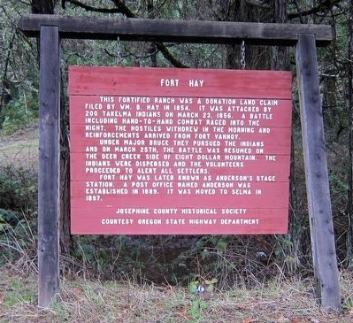
Fort Hay
This fortified ranch was a donation land claim filed by Wm. B. Hay in 1854. It was attacked by 200 Takelma Indians on March 23, 1856. A battle including hand-to-hand combat raged into the night. The hostiles withdrew in the morning and reinforcements arrived from Fort Vannoy.
Under Major Bruce they pursued the Indians and March 25th, the battle was resumed on the Deer Creek side of Eight Dollar Mountain. The Indians were dispersed and all the volunteers proceeded to alert the settlers.
Fort Hay was later known as Anderson's Stage Station. A post office named Anderson was established in 1889. It was moved to Selma in 1897.
Erected by Josephine County Historical Society, Oregon State Highway Department.
Topics. This historical marker is listed in these topic lists: Settlements & Settlers • Wars, US Indian. A significant historical date for this entry is March 23, 1856.
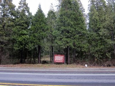
Location. 42° 18.675′ N, 123° 36.463′ W. Marker is near Selma, Oregon, in Josephine County. Marker is on U.S. 199, 0.1 miles south of Draper Valley Road, on the right when traveling north. Touch for map. Marker is in this post office area: Selma OR 97538, United States of America. Touch for directions.
Other nearby markers. At least 4 other markers are within 13 miles of this marker, measured as the crow flies. Kerby(ville) 1850's to Present (approx. 8.2 miles away); Wilderville Post Office (approx. 8.7 miles away); Fort Briggs (approx. 12.4 miles away); Fort Vannoy (approx. 13 miles away).
Regarding Fort Hay. The site was alternatively known as Fort Hayes and Camp Hayes.
Also see . . .
1. Fort Hayes. Fort Wiki website entry (Submitted on March 28, 2021, by Larry Gertner of New York, New York.)
2. Rogue River Indian War (1855-1856). Fort Wiki website entry (Submitted on March 28, 2021, by Larry Gertner of New York, New York.)
Credits. This page was last revised on March 28, 2021. It was originally submitted on January 1, 2016, by Andrew Ruppenstein of Lamorinda, California. This page has been viewed 620 times since then and 84 times this year. Photos: 1, 2. submitted on January 1, 2016, by Andrew Ruppenstein of Lamorinda, California.

