Rockville in Montgomery County, Maryland — The American Northeast (Mid-Atlantic)
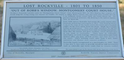
“Out of Robb’s Window, Montgomery County Court House.”
Lost Rockville - 1801 to 1850
Early 19th century Rockville had rutted dirt roads shared with pigs and livestock in 1811. This drawing shows a pig at the steps of the house across the street and a covered wagon on the cross street down the block. Small log or frame houses predominated. They were built anywhere on the lot that the owner chose because there were no zoning regulations. Note that the houses had glass windows, which showed that it was close to civilization. There were no sidewalks, streetlights, or storm drainage. Offensive odors often came from manure piles, pig pens, unclean privies, and slops thrown in the street. Since drinking water generally came from a well by the house, basic sanitation and disease were constant problems.
Like other towns, Rockville incorporated to collect taxes and provide the amenities and comforts that citizens needed and wanted. Rockville incorporated in 1860 to build sidewalks and respond to citizen needs.
Topics and series. This historical marker is listed in these topic lists: Agriculture • Animals • Roads & Vehicles • Settlements & Settlers. In addition, it is included in the Maryland, Lost Rockville – 1801 to 1850 series list. A significant historical year for this entry is 1811.
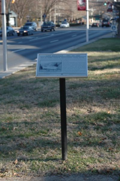
Location. 39° 4.981′ N, 77° 9.115′ W. Marker is in Rockville, Maryland, in Montgomery County. Marker is on West Jefferson Street (Maryland Route 28) east of South Washington Street, on the right when traveling east. Touch for map. Marker is in this post office area: Rockville MD 20850, United States of America. Touch for directions.
Other nearby markers. At least 8 other markers are within walking distance of this marker. Richard Montgomery (within shouting distance of this marker); Adam Robb's Tavern (within shouting distance of this marker); Memorial to the Events of September 11, 2001 (within shouting distance of this marker); Dr. James Anderson House (within shouting distance of this marker); Hungerford Tavern (about 300 feet away, measured in a direct line); Lamar House (about 300 feet away); Maj. Gen. Edward Braddock and His Men (about 300 feet away); Bicentennial of Maryland's Ratification of the Constitution (about 300 feet away). Touch for a list and map of all markers in Rockville.
More about this marker. One of the “Lost Rockville – 1801 to 1850” series of markers.
Credits. This page was last revised on November 22, 2019. It was originally submitted on January 28, 2006, by Tom Fuchs of Greenbelt, Maryland. This page has been viewed 2,531 times since then and 21 times this year. Photos: 1, 2. submitted on January 28, 2006, by Tom Fuchs of Greenbelt, Maryland. • J. J. Prats was the editor who published this page.

