Riceboro in Liberty County, Georgia — The American South (South Atlantic)
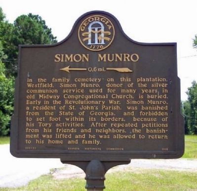
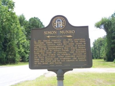
Simon Munro
←—0.6mi—«
Erected 1958 by Georgia Historical Commission. (Marker Number 089-23.)
Topics and series. This historical marker is listed in these topic lists: Cemeteries & Burial Sites • Churches & Religion • War, US Revolutionary. In addition, it is included in the Georgia Historical Society series list.
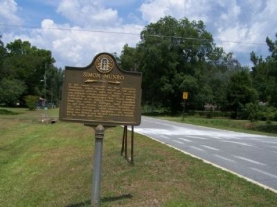
Location. 31° 43.417′ N, 81° 30.037′ W. Marker is in Riceboro, Georgia, in Liberty County. Marker is at the intersection of Briar Bay Road and Shell Road, on the left when traveling west on Briar Bay Road. Touch for map. Marker is in this post office area: Riceboro GA 31323, United States of America. Touch for directions.
Other nearby markers. At least 8 other markers are within 6 miles of this marker, measured as the crow flies. William Bartram Trail (approx. 1˝ miles away); Woodmanston Plantation (approx. 1˝ miles away); First African Baptist Church (approx. 2.8 miles away); "Lest We Forget" (approx. 2.8 miles away); Riceborough (approx. 3.9 miles away); Lambert Plantation (approx. 4.3 miles away); Old Post Road (approx. 4.4 miles away); LeConte Botanical Gardens (approx. 5.3 miles away). Touch for a list and map of all markers in Riceboro.
Regarding Simon Munro. After several trips up and down Shell Road,and Sandy Run Road, no evidence of a plantation or cemetery could be seen from road, as of July 2008.
Also see . . . The Revolutionary Records of the State of Georgia by Allen Daniel Candler. Page 615 details the State Legislature's Act reversing the conviction of Munro for treason. (Submitted on July 16, 2008, by Mike Stroud of Bluffton, South Carolina.)
Additional keywords. Tories
Credits. This page was last revised on September 10, 2022. It was originally submitted on July 16, 2008, by Mike Stroud of Bluffton, South Carolina. This page has been viewed 1,550 times since then and 41 times this year. Last updated on September 8, 2022, by Erika Blocker - LeCounte of Riceboro, Georgia. Photos: 1. submitted on April 4, 2011, by Mike Stroud of Bluffton, South Carolina. 2, 3. submitted on July 16, 2008, by Mike Stroud of Bluffton, South Carolina. • Bernard Fisher was the editor who published this page.


