Near Douglas in Converse County, Wyoming — The American West (Mountains)
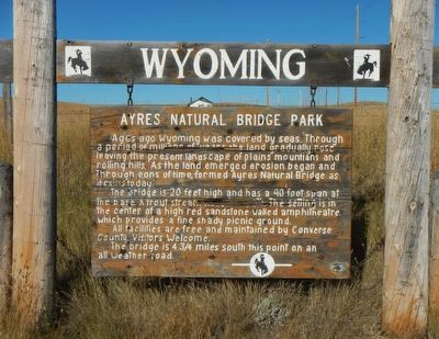
Ayres Natural Bridge Park
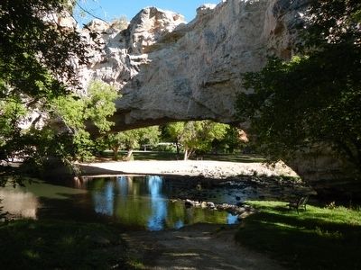
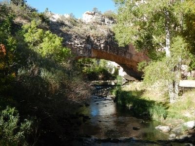
The bridge is 20 feet high and has a 90 foot span at the base. A trout stream flows beneath. The setting is in the center of a high red sandstone walled amphitheater, which provides a fine shady picnic ground.
All facilities are free and maintained by Converse County. Visitors welcome. The bridge is 4-3/4 miles south from this point on an all weather road.
Erected by Wyoming State Parks & Cultural Resources.
Topics. This historical marker is listed in this topic list: Natural Features.
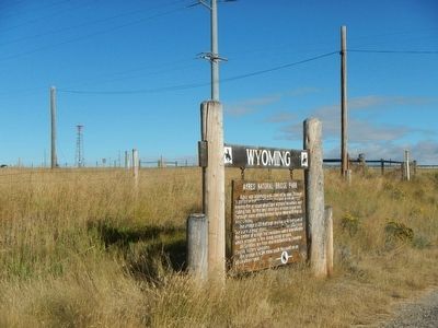
Location. 42° 47.654′ N, 105° 36.842′ W. Marker is near Douglas, Wyoming, in Converse County. Marker is on Natural Bridge Road (County Route 13) near Interstate 25, on the right when traveling south. Touch for map. Marker is at or near this postal address: 7 Natural Bridge Road, Douglas WY 82633, United States of America. Touch for directions.
Other nearby markers. At least 8 other markers are within 8 miles of this marker, measured as the crow flies. Sharp, Franklin and Taylor, (approx. 1.1 miles away); Oregon Trail (approx. 2.4 miles away); Natural Bridge and the Oregon Trail (approx. 4.1 miles away); Formation of Ayres Natural Bridge (approx. 4.1 miles away); a different marker also named The Oregon Trail (approx. 7.1 miles away); Bill Hooker (approx. 7.1 miles away); Fort Fetterman (approx. 7.3 miles away); Bozeman Trail (approx. 7.4 miles away). Touch for a list and map of all markers in Douglas.
More about this marker. Natural Bridge Road is at exit 151 on Interstate 25.
Credits. This page was last revised on June 16, 2016. It was originally submitted on January 7, 2016, by Barry Swackhamer of Brentwood, California. This page has been viewed 592 times since then and 19 times this year. Photos: 1, 2, 3, 4. submitted on January 7, 2016, by Barry Swackhamer of Brentwood, California.


