Kentwood in Tangipahoa Parish, Louisiana — The American South (West South Central)
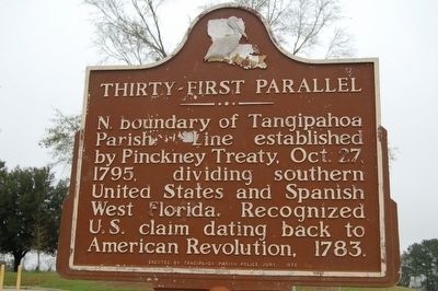
Thirty-First Parallel
Erected 1975 by Tangipahoa Parish Police Jury.
Topics. This historical marker is listed in these topic lists: Colonial Era • Political Subdivisions • War, US Revolutionary. A significant historical date for this entry is October 27, 1795.
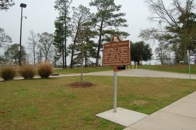
Location. 30° 59.043′ N, 90° 30.592′ W. Marker is in Kentwood, Louisiana, in Tangipahoa Parish. Marker is on Interstate 55 at milepost 1,, one mile south of State Line, on the right when traveling south. Located at the I-55 Louisiana Welcome Center grounds. Touch for map. Marker is in this post office area: Kentwood LA 70444, United States of America. Touch for directions.
Other nearby markers. At least 8 other markers are within 7 miles of this marker, measured as the crow flies. Roncal (approx. 1.6 miles away); T. Tommy Cutrer (approx. 2.4 miles away in Mississippi); Camp Moore #5 (approx. 6.8 miles away); Camp Moore #6 (approx. 6.8 miles away); Camp Moore (approx. 6.8 miles away); Camp Moore #3 (approx. 6.8 miles away); Camp Moore Confederate Cemetery (approx. 6.8 miles away); Camp Moore Confederate Soldiers Memorial (approx. 6.8 miles away).
Credits. This page was last revised on July 28, 2023. It was originally submitted on January 8, 2016. This page has been viewed 562 times since then and 17 times this year. Last updated on January 11, 2016. Photos: 1, 2. submitted on January 8, 2016. • Bernard Fisher was the editor who published this page.

