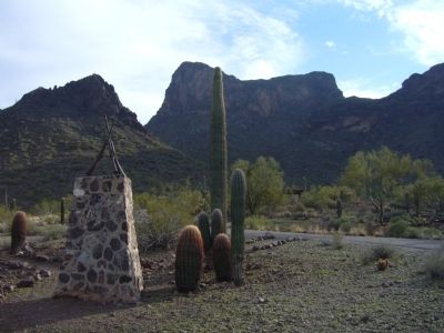
Picacho in Pinal County, Arizona — The American Mountains (Southwest)
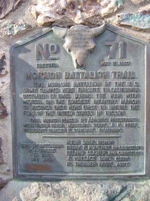
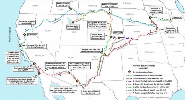
Mormon Battalion Trail
This marker placed by Aaronic Priesthood, Mesa Third Ward, Maricopa Stake, J.R. Price, President, Charles E. Standage, Chairman.
H.A. Brizee • Ed Boil • Dan Judd
(Inscription on skull)
Official marker Utah Pioneer Trails and Landmarks Association
Erected 1937 by This marker placed by Aaronic Priesthood, Mesa third ward, Maricopa Stake, J.R. Price, President, Charles E Standage, Chairman. (Marker Number 71.)
Topics and series. This historical marker is listed in these topic lists: Notable Places • War, Mexican-American. In addition, it is included in the Mormon Battalion, and the Utah Pioneer Trails and Landmarks Association series lists. A significant historical date for this entry is December 17, 1895.
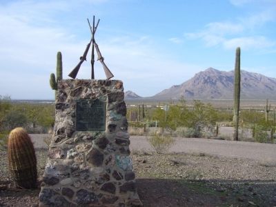
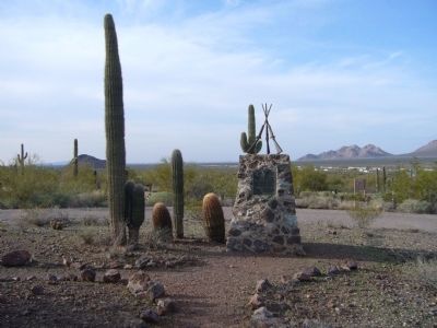
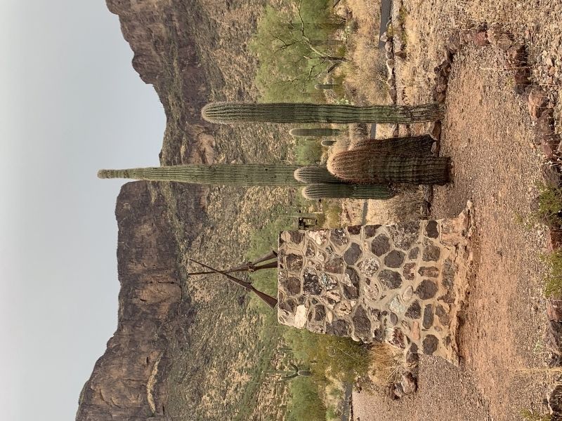
Location. 32° 38.765′ N, 111° 24.008′ W. Marker is in Picacho, Arizona, in Pinal County. Marker can be reached from Interstate 10. Marker is just inside the entrance to Picacho Peak State Park. Touch for map. Marker is in this post office area: Picacho AZ 85141, United States of America. Touch for directions.
Other nearby markers. At least 5 other markers are within 17 miles of this marker, measured as the crow flies. Memorial to the 1st California Cavalry Volunteers (within shouting distance of this marker); Juan Bautista de Anza National Historic Trail / Camp 21: El Aquituni (approx. 1.7 miles away); Red Rock Post Office (approx. 6 miles away); Stage Station and Homestead (approx. 12.4 miles away); In Memory of Tom Mix (approx. 16.7 miles away).
More about this marker. The Picacho Peak state park is scheduled to close June 3, 2010.
Also see . . . The Mormon Battalion at Pacheco. A short Arizona Stories-Milestones AzPBS.org YouTube video produced by Arizona State University. (Submitted on September 29, 2010.)
Photographed By Ltc Max W. Jamison
2. Mormon Battalion Trail Marker
Mormon Battalion Routes - Release 1.1, copyright Kevin Henson, 2014, [email protected]
Credits. This page was last revised on September 18, 2020. It was originally submitted on February 5, 2010, by Bill Kirchner of Tucson, Arizona. This page has been viewed 3,906 times since then and 144 times this year. Last updated on January 27, 2016, by Ltc Max W. Jamison of Lehi, Utah. Photos: 1. submitted on February 5, 2010, by Bill Kirchner of Tucson, Arizona. 2. submitted on January 27, 2016, by Ltc Max W. Jamison of Lehi, Utah. 3, 4. submitted on February 5, 2010, by Bill Kirchner of Tucson, Arizona. 5. submitted on September 18, 2020. 6. submitted on February 5, 2010, by Bill Kirchner of Tucson, Arizona. • Syd Whittle was the editor who published this page.
