Port Royal, Kingston Parish, Jamaica — Surrey County (Caribbean Region of the Americas)
The 1907 and 1957 Jamaica Earthquakes
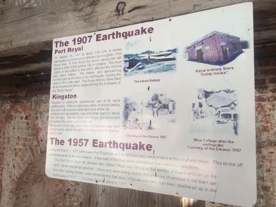
The 1907 Earthquake
Port Royal
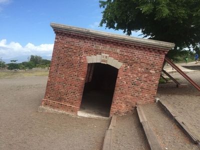
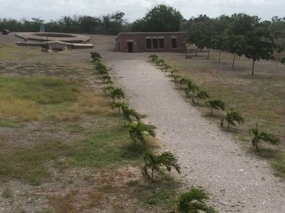
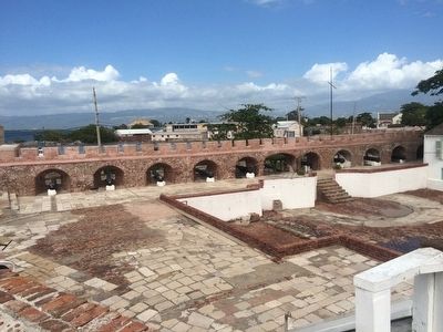
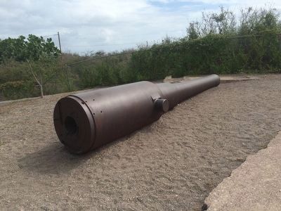
On January 14, 1907 at about 3:30 a.m. a severe earthquake occurred which affected the Kingston-Port Royal area. In Port Royal the shock caused the still standing walls of the sunken city to collapse. The most visible on-land effect is that which affected the Victoria and Albert Battery. The batty and approaching tunnels sank at the time of the earthquake causing the vents to fill in with sand. The Royal Artillery Store tilted at its present precarious angle earning the nickname of the "Giddy House."
Kingston
Kingston in particular, experienced one of its worst earthquakes. Without warning a series of shocks lasting less than a minute destroyed most of the city. Added to the devastation, was a fire that raged for about four (4) days. The fire hampered rescue operations and completed the destruction of the city.
At the end of the day, more than 800 persons had died and property valued at some two million pounds sterling laid in ruins.
The 1957 Earthquake
During the March 1, 1957 earthquake Port Royal lost an 8 by 600 foot long piece of land at the southern shore. This broke off and disappeared as the sea swept in. A few walls of the town were cracked but there were no casualties.
"One Port Royal citizen Mr. Betram Hall, District Officer, was fishing at that section of beach and ran as his catch, tackle and jacket vanished. Others who were fishing nearby fled as score of persons in the town ran from their rocking homes, many remembering that most of the ancient town had been swallowed up in the earthquake of 1692." The Daily Gleaner March 4, 1957
Captions:
The Albert Battery
Royal Artillery Store "Giddy House."
Courtesy of the Gleaner 1907
Mico Collage (sic, College) after the earthquake Courtesy of the Gleaner 1907
Topics. This historical marker is listed in these topic lists: Disasters • Forts and Castles. A significant historical date for this entry is January 14, 1907.
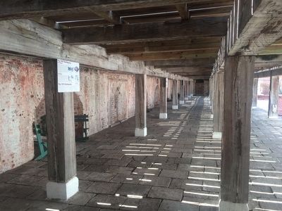
Location. 17° 56.095′ N, 76° 50.541′ W. Marker is in Port Royal, Kingston Parish. Marker can be reached from Norman Manley Highway. The marker is inside of Fort Charles, underneath the southern elevated walkway. Touch for map. Touch for directions.
Other nearby markers. At least 8 other markers are within walking distance of this marker. Fort Charles (within shouting distance of this marker); Horatio Nelson in Jamaica (within shouting distance of this marker); H.M.S. "Aboukir" (about 90 meters away, measured in a direct line); St. Peter's Church (approx. 0.3 kilometers away); Lucas Barrett (approx. 0.3 kilometers away); The Historic Royal Naval Hospital (approx. 0.3 kilometers away); Welcome to Port Royal
(approx. 0.4 kilometers away); 'Ye Olde Parade Bar' (approx. 0.4 kilometers away). Touch for a list and map of all markers in Port Royal.
Credits. This page was last revised on February 12, 2022. It was originally submitted on January 30, 2016, by J. Makali Bruton of Accra, Ghana. This page has been viewed 1,392 times since then and 143 times this year. Photos: 1, 2, 3, 4, 5. submitted on January 30, 2016, by J. Makali Bruton of Accra, Ghana. 6. submitted on February 13, 2016, by J. Makali Bruton of Accra, Ghana.
