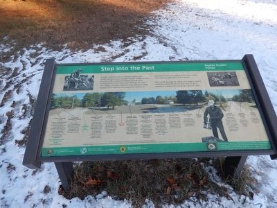
Step into the Past
Double Trouble Village
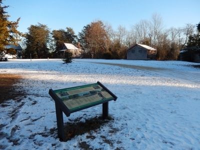
Take a walk through the village and imagine what it would have been like to live and work (or go to school) in a small, self-contained company town.
(Inscriptions under the photo in the center)
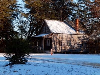
Pickers Cottage (c. 1940) Pickers’ cottages housed seasonal workers-including family groups. Every year 30-40 migrant workers arrived on Labor Day weekend and stayed until Thanksgiving. They worked exclusively in the bogs handpicking cranberries. This building is now an information center with restrooms.
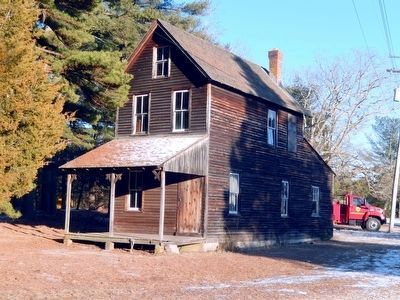
Company Foreman’s House (c. 1900) This was the year-round home of the “head” foreman who oversaw the management of the cranberry and sawmill operations.
Double Trouble School (operated 1893-1915) This one room school is the oldest remaining structure in the village. It was established to serve the children of the lumbering community and survived to serve the children of the cranberry workers.
Burke House (c. 1900) This was the home
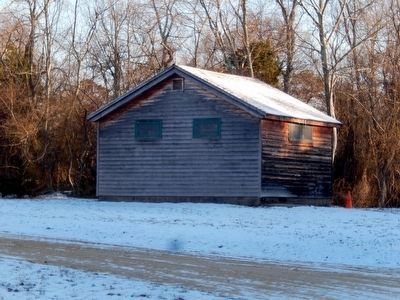
of the Burke family from 1938 until 1957. Mr. David Burke was foreman of the cranberry processing operations until 1967, when his son took over.Garage and Machine Shop. The oldest part of this structure housed the blacksmith and repair shop for the cranberry and sawmill operations. Today, this building houses park operations and maintenance shop.
Cranberry Sorting and Packing House (Built 1909-1916, with additions in 1919 and 1921-25) This building was the hub of the cranberry harvest. Here, hand-scoped cranberries were sorted according to size and quality and then packed for market.
General Store (c. 1920) The general store provided the early villagers with staples such as oatmeal, flour, pork and sugar. From the 1930s until it closed, convenience items like candy, cigarettes and gloves were sold.
Shower Room. The shower room was a shared facility, with separate men’s and women’s rooms. Each room had two shower stalls. The women’s side also had a laundry sink.
Bunk House (c. 1900) Also called the “communal house” this is where single workers lived during the seasonal cranberry harvest. ---Pickers’ Cottage (1953).
This exhibit was supported by the National Park Service’s Challenge Cost Share Program. Village photograph courtesy of George Chase. Historic photographs courtesy of New Jersey Archives, Department of State. Special thanks to George Burke for
his insight and advise.Erected by National Park Service and New Jersey Division of Parks and Forestry.
Topics. This historical marker is listed in these topic lists: Agriculture • Industry & Commerce • Settlements & Settlers.
Location. 39° 53.795′ N, 74° 13.369′ W. Marker is in Bayville, New Jersey, in Ocean County. Marker is on Double Trouble Road. Touch for map. Marker is in this post office area: Bayville NJ 08721, United States of America. Touch for directions.
Other nearby markers. At least 8 other markers are within 4 miles of this marker, measured as the crow flies. Pineland Industries (within shouting distance of this marker); Welcome to Double Trouble State Park (about 300 feet away, measured in a direct line); Exploring The Pinelands (about 300 feet away); Captain Joshua Huddy (approx. 4 miles away); Anchor from the Aircraft Carrier USS Randolph CV-15 (approx. 4 miles away); Huddy’s Hanging Stalls Peace Talks (approx. 4 miles away); The British Attack Toms River (approx. 4 miles away); a different marker also named Captain Joshua Huddy (approx. 4 miles away). Touch for a list and map of all markers in Bayville.
Credits. This page was last revised on June 16, 2016. It was originally submitted on February 3, 2016, by Don Morfe of Baltimore, Maryland. This page has been viewed 274 times since then and 7 times this year. Photos: 1, 2, 3, 4, 5. submitted on February 3, 2016, by Don Morfe of Baltimore, Maryland. • Bill Pfingsten was the editor who published this page.
