Pebble Beach in Monterey County, California — The American West (Pacific Coastal)
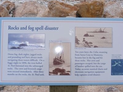
Rocks and fog spell disaster
Ten years later the Celia, streaming from Santa Cruz to Monterey, became lost in the fog and hit these rocks. Her crew and passengers escaped, but the cargo of lumber spilled into the sea. Today, accurate nautical charts and electronic navigation equipment help captains avoid disaster. (Inscription under the image in the upper left) Fog blankets the coastline, especially during summer. (Inscription under the image in the center) St. Paul shipwreck, 1896. (Inscription under the image in the upper right) Celia shipwreck, 1906. (Inscription under the image in the lower right) Radar, one of today’s technologies helps prevent shipwrecks.
Topics. This historical marker is listed in this topic list: Waterways & Vessels. A significant historical year for this entry is 1896.
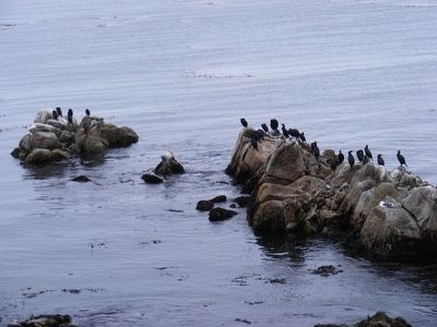
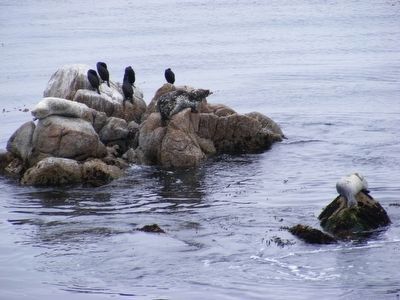
Location. 36° 35.494′ N, 121° 57.859′ W. Marker is in Pebble Beach, California, in Monterey County. Marker can be reached from Bird Rock Road near 17 Mile Drive. Marker is located at the Bird Rock Vista Point. Touch for map . Marker is in this post office area: Pebble Beach CA 93953, United States of America. Touch for directions.
Other nearby markers. At least 8 other markers are within 4 miles of this marker, measured as the crow flies. Cypress Point Lookout (approx. 1.2 miles away); Sam Morse (approx. 1.8 miles away); Balance Lost and Found Again (approx. 2.4 miles away); Asilomar State Beach and Conference Grounds (approx. 2.4 miles away); Frank L. Buck House (approx. 3.1 miles away); Gosby House Inn (approx. 3.3 miles away); Chautauqua Hall (approx. 3.3 miles away); Centrella Hotel (approx. 3.3 miles away). Touch for a list and map of all markers in Pebble Beach.
Credits. This page was last revised on June 16, 2016. It was originally submitted on February 8, 2016, by Don Morfe of Baltimore, Maryland. This page has been viewed 346 times since then and 15 times this year. Photos: 1, 2, 3, 4, 5, 6. submitted on February 8, 2016, by Don Morfe of Baltimore, Maryland. • Syd Whittle was the editor who published this page.
