Collinsville in Canton in Hartford County, Connecticut — The American Northeast (New England)
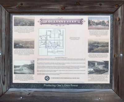
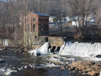
Collinsville’s Powerhouse Station No. 3
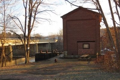
This powerhouse was built in 1935 to house a low-head, Francis-type turbine and a General Electric remote controlled generator. The turbine and generator were purchased by The Collins Company from a municipality in Lenoir, North Carolina and arrived in Collinsville by rail.
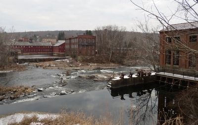
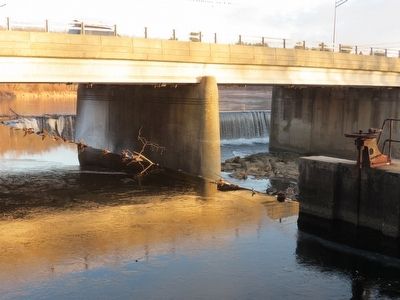
The construction of the powerhouse, canal, dam, and control gates, as well as the installation of the generator, were all done by Collins Company employees, under the direction of Guy F. Whitney, the plant engineer.
The Collins Company, as a riparian owner (meaning they owned land next to the river and certain uses of the water), had controlling interest in the Farmington River Water Power Company, a Massachusetts chartered organization. The Farmington River watershed above the Collinsville dam is over 330 square miles in area and produces a volume of over 21 billion gallons of water annually.
This is one of five turbines which the Collins Company built to supply electricity to their own operation. Excess electricity was put into the State’s power grid and purchased by HELCO (CL&P).
The Collins Company was known worldwide for manufacturing superior quality edge tools, among them machetes for the South American and Central American countries and axes for domestic markets.
Erected by Canton Historical Museum.
Topics. This historical marker is listed in these topic lists: Industry & Commerce • Waterways & Vessels. A significant historical year for this entry is 1935.
Location. 41° 48.583′ N, 72° 55.55′ W. Marker is in Canton, Connecticut, in Hartford County. It is in Collinsville. Marker is at the intersection of Torrington Avenue (Connecticut Route 179) and Bridge Street, on the right when traveling north on Torrington Avenue. Touch for map. Marker is at or near this postal address: 44 Bridge St, Canton CT 06019, United States of America. Touch for directions.
Other nearby markers. At least 8 other markers are within 2 miles of this marker, measured as the crow flies. The Collins Company Plow Building (approx. 0.2 miles away); Collinsville (approx. 0.2 miles away); Charter Oak Offspring (approx. 0.2 miles away); Canton Soldiers Memorial (approx. 0.2 miles away); Canton Veterans Memorial (approx. 0.3 miles away); Collinsville, Town of Canton (approx. half a mile away); a different marker also named Collinsville, Town of Canton (approx. 0.8 miles away); Constitution Oak (approx. 1.2 miles away). Touch for a list and map of all markers in Canton.
Also see . . .
1. Collinsville Historic District. Wikipedia entry (Submitted on February 12, 2016, by Alan M. Perrie of Unionville, Connecticut.)
2. Collinsville Historic District. National Park Service - NP
Gallery Digital Asset Management System entry (Submitted on February 12, 2016, by Alan M. Perrie of Unionville, Connecticut.)
Credits. This page was last revised on July 30, 2023. It was originally submitted on February 12, 2016, by Alan M. Perrie of Unionville, Connecticut. This page has been viewed 590 times since then and 34 times this year. Photos: 1, 2, 3, 4, 5. submitted on February 12, 2016, by Alan M. Perrie of Unionville, Connecticut. • Bill Pfingsten was the editor who published this page.
