New Harmony in Washington County, Utah — The American Mountains (Southwest)
Collapsing Scenery
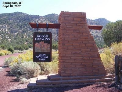
Kolob Canyons-Zion National Park
Inscription.
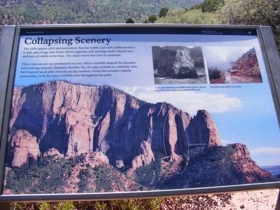
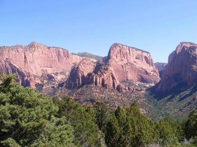
The cliffs appear solid and motionless. But the visible scars tell a different story. In July 1983 a huge slab broke off the opposite cliff, leaving a buff-colored scar and tons of rubble at the base. The entire even was over in moments.
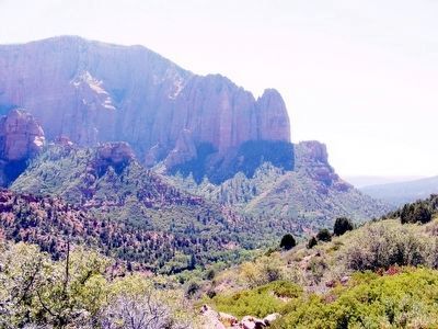
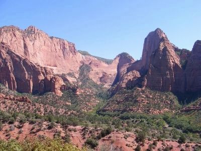
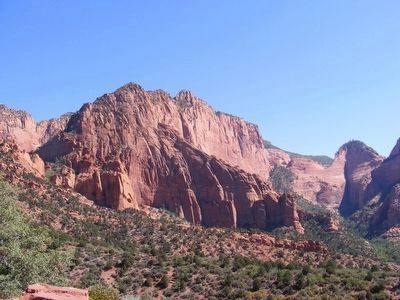
These canyons are not permanent scenery. Many rockfalls shaped the dynamic and evolving canyons. Dramatic facelifts like the 1983 rockfall are relatively rare, but frequent small piles of rocks on the roadway reveal this terrain’s volatile personality. Look for other rockfall scars throughout the park.
Erected by National Park Service-United States Department of the Interior.
Topics. This historical marker is listed in this topic list: Natural Features. A significant historical month for this entry is July 1983.
Location. 37° 26.117′ N, 113° 12.072′ W. Marker is in New Harmony, Utah, in Washington County. Marker can be reached from Kolob Canyon Road. Marker is located at the Kolob Canyons Viewpoint. Touch for map. Marker is in this post office area: New Harmony UT 84757, United States of America. Touch for directions.
Other nearby markers. At least 8 other markers are within 11 miles of this marker, measured as the crow flies. Kolob Canyons (here, next to this marker); Fort Harmony (approx. 3.9 miles away); Snowfield Monument (approx. 6.2 miles away); Military Training Camp Site (approx. 6.3 miles away); New Harmony (approx. 6.6 miles away); Fort Kanarra (approx. 7.1 miles away); South Rim of the Great Basin (approx. 10 miles away); Hornet Hill Monument (approx. 10.7 miles away). Touch for a list and map of all markers in New Harmony.
Credits. This page was last revised on January 5, 2020. It was originally submitted on February 13, 2016, by Don Morfe of Baltimore, Maryland. This page has been viewed 467 times since then and 19 times this year. Last updated on January 5, 2020, by Bruce Guthrie of Silver Spring, Maryland. Photos: 1, 2, 3, 4, 5, 6. submitted on February 13, 2016, by Don Morfe of Baltimore, Maryland. • Syd Whittle was the editor who published this page.
