Liberty in Amite County, Mississippi — The American South (East South Central)
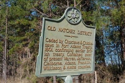
Old Natchez District
Erected 1952 by Mississippi Historical Commission.
Topics and series. This historical marker is listed in these topic lists: Native Americans • Settlements & Settlers. In addition, it is included in the Mississippi State Historical Marker Program series list. A significant historical year for this entry is 1801.
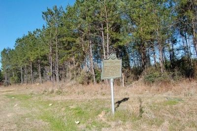
Location. 31° 11.339′ N, 90° 40.353′ W. Marker is in Liberty, Mississippi, in Amite County. Marker is on State Highway 24/48, half a mile east of Peoria Road, on the right when traveling west. Touch for map. Marker is in this post office area: Liberty MS 39645, United States of America. Touch for directions.
Other nearby markers. At least 8 other markers are within 9 miles of this marker, measured as the crow flies. Jerry Clower (approx. 0.9 miles away); East Fork Baptist Church (approx. one mile away); John H. Nunnery (approx. 7.4 miles away); Amite Female Seminary (approx. 8.2 miles away); Sherman Line Rosenwald School (approx. 8.3 miles away); Herbert Lee (approx. 8.3 miles away); Battle Of Liberty (approx. 8.3 miles away); Confederate Monument (approx. 8.3 miles away). Touch for a list and map of all markers in Liberty.
Credits. This page was last revised on July 4, 2022. It was originally submitted on February 13, 2016. This page has been viewed 592 times since then and 37 times this year. Photos: 1, 2. submitted on February 13, 2016. • Bernard Fisher was the editor who published this page.

