Otter Rock in Lincoln County, Oregon — The American West (Northwest)
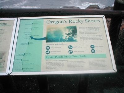
Oregonís Rocky Shores
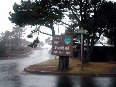
Devilís Punch Bowl/Otter Rock
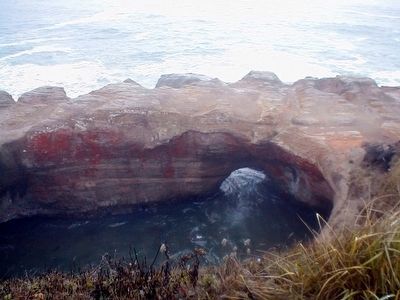
At high tide, the waves churn through the openings below the waterís surface, filling the cavern and creating the formation appropriately named Devilís Punch Bowl.
Enjoy these activities here: Tidepool Viewing, Marine Mammal Viewing, Bird Watching, Whale Watching, Shore Angling, Picnicking.
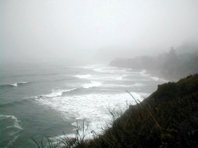
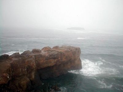
Devilís Punch Bowl / Otter Rock. This site is part of a Marine Garden. To your right is the southern tip of a Marine Garden that extends one mile north to the Otter Crest State Scenic Viewpoint. This large area offers many opportunities to enjoy and learn about marine ecosystems.
Because this area is designated as a Marine-Garden, no collecting of clams, mussels, or any other marine invertebrates is allowed, except the fishermen, who may collect single mussels for bait.
Please enjoy the tidepool creatures where they live and be careful where you step. To learn more about his productive and fascinating marine ecosystem, please read the signs to your right overlooking this rich habitat.
Topics. This historical marker is listed in this topic list: Natural Features .
Location. 44° 44.831′ N, 124° 3.89′ W. Marker is in Otter Rock, Oregon, in Lincoln County. Marker is on 1st Street. Marker is located in Devil's Punchbowl State Natural Area. Touch for map. Marker is in this post office area: Otter Rock OR 97369, United States of America. Touch for directions.
Other nearby markers. At least 8 other markers are within 5 miles of this marker, measured as the crow flies. Devil's Punchbowl (within shouting distance of this marker); Cape Foulweather (approx. 0.9 miles away); Conde B. McCullough: Oregon's Master Bridge Builder (approx. 2.1 miles away); Ben Jones: Father of Oregonís Coast Highway (approx. 2.1 miles away); Roy Bower and Jack Chambers Memorial (approx. 4Ĺ miles away); It's a Long Way Up (approx. 4.9 miles away); A Keeper's Work Was Never Done (approx. 4.9 miles away); A Family Affair (approx. 4.9 miles away).
Credits. This page was last revised on June 16, 2016. It was originally submitted on February 20, 2016, by Don Morfe of Baltimore, Maryland. This page has been viewed 520 times since then and 29 times this year. Photos: 1, 2, 3, 4, 5. submitted on February 20, 2016, by Don Morfe of Baltimore, Maryland. • J. J. Prats was the editor who published this page.
