Oxford in Chenango County, New York — The American Northeast (Mid-Atlantic)
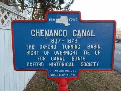
Chenango Canal
1837-1878
Sight of overnight tie up
for canal boats.
Erected by Oxford Historical Society Chenango County Bicentennial '76.
Topics and series. This historical marker is listed in these topic lists: Man-Made Features • Waterways & Vessels. In addition, it is included in the Chenango Canal series list. A significant historical year for this entry is 1837.
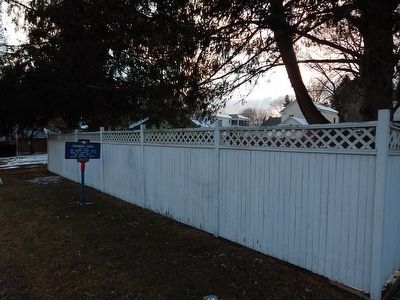
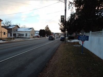
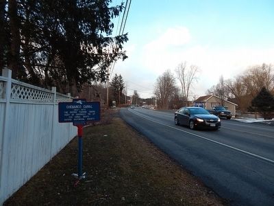
Location. 42° 26.676′ N, 75° 35.721′ W. Marker is in Oxford, New York, in Chenango County. Marker is on New York State Route 12. Touch for map. Marker is in this post office area: Oxford NY 13830, United States of America. Touch for directions.
Other nearby markers. At least 8 other markers are within walking distance of this marker. Oxford (approx. 0.2 miles away); Junction Of Ithaca-Catskill Turnpike (approx. 0.2 miles away); Fort Hill Mill (approx. ¼ mile away); Baldwin Home (approx. ¼ mile away); Site of Log House (approx. ¼ mile away); Congregational Church (approx. ¼ mile away); Oxford Revolutionary War Memorial (approx. ¼ mile away); Site of St. Paul's Episcopal Church (approx. ¼ mile away). Touch for a list and map of all markers in Oxford.
Regarding Chenango Canal. Note the marker misspelling of the word 'sight' instead of 'site'.
Also see . . . Wikipedia article on the Chenango Canal. (Submitted on November 4, 2016, by Mark Hilton of Montgomery, Alabama.)
Credits. This page was last revised on November 4, 2016. It was originally submitted on February 27, 2016, by Scott J. Payne of Deposit, New York. This page has been viewed 363 times since then and 11 times this year. Photos: 1, 2, 3, 4. submitted on February 27, 2016, by Scott J. Payne of Deposit, New York. • Bill Pfingsten was the editor who published this page.


