Near Vermillion in Union County, South Dakota — The American Midwest (Upper Plains)
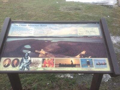
The Great Missouri River
Missouri National Recreational River
The Missouri River's role in the settlement of the Great Plains is celebrated in two free flowing portions that Congress set aside as Missouri National Recreational River. Unlike the dammed and channelized sections, these river segments provide opportunities to pursue outdoor activities within one of America's great historic settings.
Erected by National Park Service.
Topics. This historical marker is listed in this topic list: Waterways & Vessels.
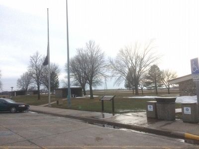
Location. 42° 47.047′ N, 96° 47.225′ W. Marker is near Vermillion, South Dakota, in Union County. Marker can be reached from the intersection of Interstate 29 at milepost 26 and South Dakota Highway 50. Marker is located at Homestead Rest Area. Touch for map. Marker is in this post office area: Vermillion SD 57069, United States of America. Touch for directions.
Other nearby markers. At least 8 other markers are within 5 miles of this marker, measured as the crow flies. Homestead Rest Area (about 300 feet away, measured in a direct line); First Rural Electric Cooperative (approx. 1.9 miles away); a different marker also named First Rural Electric Cooperative (approx. 2 miles away); Bruyer Church (approx. 3.2 miles away); Burbank (approx. 3.2 miles away); Site of First Norwegian Lutheran Church in Dakota Territory (approx. 4.3 miles away); St. Mary's Catholic Church (approx. 4.7 miles away); Giants in the Earth Country (approx. 5.1 miles away). Touch for a list and map of all markers in Vermillion.
Credits. This page was last revised on June 16, 2016. It was originally submitted on February 23, 2016, by Ruth VanSteenwyk of Aberdeen, South Dakota. This page has been viewed 435 times since then and 12 times this year. Last updated on March 3, 2016, by Ruth VanSteenwyk of Aberdeen, South Dakota. Photos: 1, 2. submitted on February 23, 2016, by Ruth VanSteenwyk of Aberdeen, South Dakota. • Bill Pfingsten was the editor who published this page.

