Embarcadero in San Francisco City and County, California — The American West (Pacific Coastal)
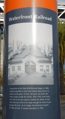
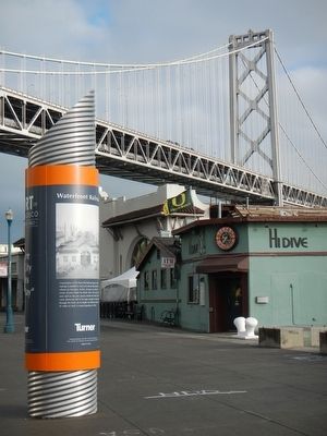
Waterfront Railroad
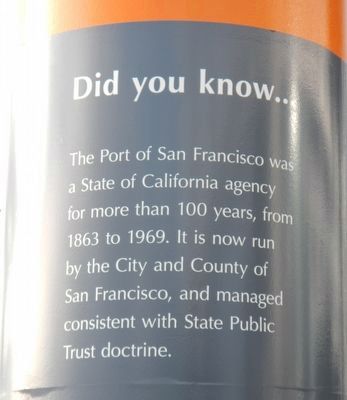
Did you know...
The Port of San Francisco was a State of California agency for more than 100 years, from 1863 to 1969. It is now run by the City and County of San Francisco, and managed consistent with State Public Trust doctrine.
Erected 2013 by Port of San Francisco.
Topics. This historical marker is listed in these topic lists: Industry & Commerce • Railroads & Streetcars.
Location. 37° 47.245′ N, 122° 23.261′ W. Marker is in San Francisco, California, in San Francisco City and County. It is in Embarcadero. Marker is on The Embarcadero near Bryant Street, on the right when traveling north. Touch for map. Marker is at or near this postal address: 501 The Embarcadero, San Francisco CA 94105, United States of America. Touch for directions.
Other nearby markers. At least 8 other markers are within walking distance of this marker. Bryant Street (within shouting distance of this marker); Spear Street (within shouting distance of this marker); The Matson Line (about 300 feet away, measured in a direct line); The Bay Bridge (about 700 feet away); Harrison Street (about 800 feet away); Rincon Hill (approx. 0.2 miles away); Beale Street (approx. 0.2 miles away); Hills Brothers Coffee (approx. 0.2 miles away). Touch for a list and map of all markers in San Francisco.
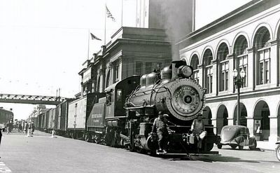
Also see . . . The State Belt Railroad (1890-1993) -- National Park Service. The original purpose of the State Belt Railroad was to serve the waterfront's commercial shipping activities but as the city's needs changed, so did the length and scope of the railroad. During World War I, in an effort to support the military's shipping needs, a railroad tunnel was constructed to extend the Belt Railroad out to the Fort Mason army post. By 1917, the state extended the railroad out to the Presidio army base. At the height of the State Belt Railroad, 67 miles of track were in service. (Submitted on March 3, 2016, by Barry Swackhamer of Brentwood, California.)
Credits. This page was last revised on February 7, 2023. It was originally submitted on March 3, 2016, by Barry Swackhamer of Brentwood, California. This page has been viewed 333 times since then and 21 times this year. Photos: 1, 2, 3, 4. submitted on March 3, 2016, by Barry Swackhamer of Brentwood, California.


