Near Welaka in Putnam County, Florida — The American South (South Atlantic)
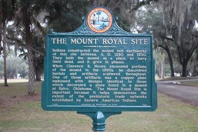
The Mount Royal Site
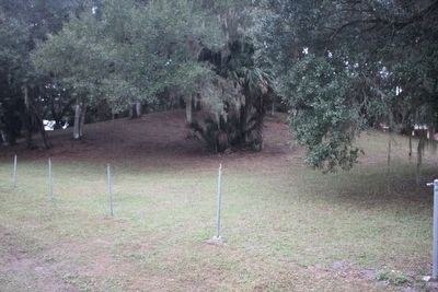
Indians constructed the mound and earthworks of this site between A.D. 1250 and 1500. They built the mound as a place to bury their dead, and it grew in phases.
When Clarence B. Moore excavated portions of the mound in the 1890s, he discovered burials and artifacts scattered throughout. One of those artifacts was a copper plate embossed with designs identical to those which decorated a plate found in a mound at Spiro, Oklahoma. The Mount Royal Site is important because it helps demonstrate the extent of the prehistoric trade networks established by Eastern American Indians.
Erected 1983 by Department of State. (Marker Number F-299.)
Topics. This historical marker is listed in these topic lists: Anthropology & Archaeology • Cemeteries & Burial Sites • Native Americans.
Location. 29° 26.01′ N, 81° 39.254′ W. Marker is near Welaka, Florida, in Putnam County. Marker is on Indian Mound Drive south of Temple Mound Road, on the left when traveling north. Marker is located in the Mount Royal Airpark. This is a gated community and it might be a bit difficult to get in even though the one-acre mound is owned by the State of Florida. Touch for map. Marker is in this post office area: Crescent City FL 32112, United States of America. Touch for directions.
Other nearby markers. At least 8 other markers are within 9 miles of this marker, measured as the crow flies. Mount Royal (a few steps from this marker); a different marker also named The Mount Royal Site (approx. 0.7 miles away); William Bartram Trail (approx. 7.2 miles away); Battle At Horse Landing (approx. 8.1 miles away); The Battle of Braddock’s Farm (approx. 8.3 miles away); Cross Florida Barge Canal Memorial (approx. 8.4 miles away); Florida's First Bicentennial Park (approx. 8˝ miles away); Asa Philip Randolph (approx. 8˝ miles away). Touch for a list and map of all markers in Welaka.
Related markers. Click here for a list of markers that are related to this marker.
Also see . . .
1. Mount Royal (Florida). Wikipedia entry (Submitted on December 20, 2023, by Larry Gertner of New York, New York.)
2. Archaeological Overview of Mount Royal (pdf file)PDF. Keith H. Ashley. The Florida Anthropologist. 2005 Vol.58(3-4)
at ResearchGate website (Submitted on March 16, 2016, by Tim Fillmon of Webster, Florida.)
Credits. This page was last revised on December 20, 2023. It was originally submitted on March 16, 2016, by Tim Fillmon of Webster, Florida. This page has been viewed 552 times since then and 48 times this year. Photos: 1, 2. submitted on March 16, 2016, by Tim Fillmon of Webster, Florida. • Bernard Fisher was the editor who published this page.

