Maumee in Lucas County, Ohio — The American Midwest (Great Lakes)
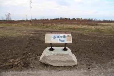
Archeology & Artifacts
Main Battle Line
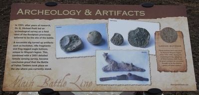
A successful dig turned up artifacts such as buckshot, rifle fragments and frog-legged eagle buttons, unique to Wayne's legion. This combined with a 2001 detailed remote sensing survey, became conclusive proof that the Battle of Fallen Timbers took place on the site where you currently stand.
———————————
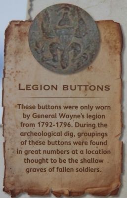
These buttons were only worn by General Wayne's legion from 1792-1796. During the archeological dig, groupings of these buttons were found in great numbers at a location thought to be the shallow graves of fallen soldiers.
Erected by Metroparks of the Toledo Area.
Topics. This historical marker is listed in this topic list: Wars, US Indian.
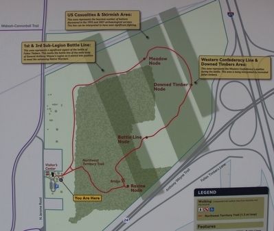
Location. 41° 33.246′ N, 83° 41.839′ W. Marker is in Maumee, Ohio, in Lucas County. Marker can be reached from North Jerome Road south of Monclova Road, on the left when traveling south. This marker is located on the grounds of the Fallen Timbers Battlefield, Metropark, in a clearing near the northern border of the park, and is the sixteenth in a series of markers seen along the Fallen Timbers Battlefield, walking trail. Touch for map. Marker is in this post office area: Maumee OH 43537, United States of America. Touch for directions.
Other nearby markers. At least 8 other markers are within walking distance of this marker. Fort Miamis Connection (approx. ¼ mile away); Partners in Preservation (approx. ¼ mile away); Alliances (approx. ¼ mile away); Unfair Negotiations (approx. ¼ mile away); Why Fight Here? (approx. ¼ mile away); The Battle Begins (approx. 0.3 miles away); Ready, Aim, Fire! (approx. 0.3 miles away); The Battle Ends (approx. 0.3 miles away). Touch for a list and map of all markers in Maumee.
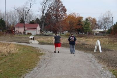
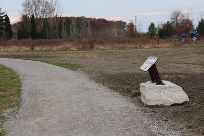
More about this marker. This particular marker is situated by itself, in a larger open field, along the main park trail, at the northwest most point of the park walking trail, right at the bend where the trail goes from heading west to heading south.
Credits. This page was last revised on June 16, 2016. It was originally submitted on March 21, 2016, by Dale K. Benington of Toledo, Ohio. This page has been viewed 585 times since then and 34 times this year. Photos: 1, 2, 3, 4, 5, 6. submitted on March 21, 2016, by Dale K. Benington of Toledo, Ohio.
