Maumee in Lucas County, Ohio — The American Midwest (Great Lakes)
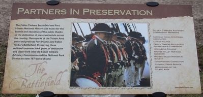
Partners in Preservation
The Battlefield
————————————
American Indian Intertribal Association
City of Maumee
Fallen Timbers Battlefield Preservation Commission
Heidelberg College
Maumee Valley Heritage Corridor
Maumee Valley Historical Society
Ohio Historic Connection
National Parks Service
Metroparks of the Toledo Area
Erected by Metroparks of the Toledo Area.
Topics. This historical marker is listed in this topic list: Wars, US Indian.
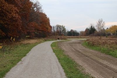
Location. 41° 33.036′ N, 83° 41.851′ W. Marker is in Maumee, Ohio, in Lucas County. Marker can be reached from North Jerome Road south of Monclova Road, on the left when traveling south. This marker is located on the grounds of the Fallen Timbers Battlefield, Metropark, by the edge of the woods, and is the seventeenth and final marker, in a series of markers seen along the Fallen Timbers Battlefield, walking trail. Touch for map. Marker is in this post office area: Maumee OH 43537, United States of America. Touch for directions.
Other nearby markers. At least 8 other markers are within walking distance of this marker. Why Fight Here? (within shouting distance of this marker); Unfair Negotiations (within shouting distance of this marker); Early American Defeats (about 400 feet away, measured in a direct line); Battle of Fallen Timbers (about 500 feet away); Fighting Forces (about 700 feet away); A Long March (approx. 0.2 miles away); Cover and Camouflage (approx. 0.2 miles away); Caught Off Guard (approx. 0.2 miles away). Touch for a list and map of all markers in Maumee.
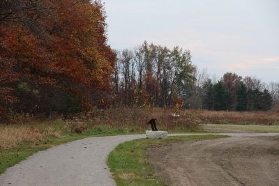
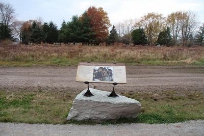
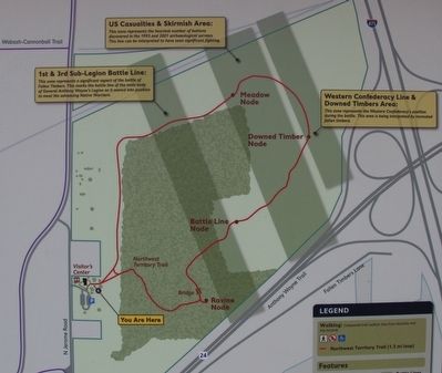
More about this marker. This particular marker is situated by itself, on the edge of an open field next to the woods, along the main park trail, near where the park walking trail completes its loop around the park and returns to the park visitor center.
Photographed By Dale K. Benington, November 5, 2015
6. Partners in Preservation Marker
View of a map of the Fallen Timbers Battlefield park, showing the park's walking trail in red. The featured marker would be located near where the park's walking trail's loop through the park is completed, near the park's visitor center.
Credits. This page was last revised on June 16, 2016. It was originally submitted on March 21, 2016, by Dale K. Benington of Toledo, Ohio. This page has been viewed 345 times since then and 13 times this year. Photos: 1, 2, 3, 4, 5, 6. submitted on March 22, 2016, by Dale K. Benington of Toledo, Ohio.
