Ticonderoga in Essex County, New York — The American Northeast (Mid-Atlantic)
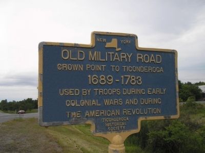
Old Military Road
Crown Point to Ticonderoga
— 1689 – 1783 —
Colonial Wars and during
the American Revolution.
Erected by Ticonderoga Historical Society.
Topics. This historical marker is listed in these topic lists: Colonial Era • Military • Notable Places • Roads & Vehicles • War, French and Indian • War, US Revolutionary.
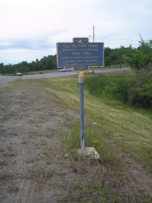
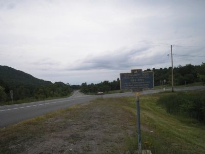
Location. 43° 54.111′ N, 73° 25.644′ W. Marker is in Ticonderoga, New York, in Essex County. Marker is at the intersection of U.S. 9 and Shore Airport Road (County Route 43), on the right when traveling north on U.S. 9. Touch for map. Marker is in this post office area: Ticonderoga NY 12883, United States of America. Touch for directions.
Other nearby markers. At least 8 other markers are within 4 miles of this marker, measured as the crow flies. A landscape filled with legend and activity . . . (approx. 1.8 miles away); Streetroad Cemetery (approx. 1.8 miles away); The Soldiers' Monument (approx. 3½ miles away); Island Mill (approx. 3½ miles away); Anatomy of the River (approx. 3.6 miles away); 1756 French Saw Mill on La Chute River (approx. 3.6 miles away); Crossroads of a Community (approx. 3.6 miles away); Samuel De Champlain (approx. 3.6 miles away). Touch for a list and map of all markers in Ticonderoga.
Also see . . .
1. Crown Point State Historic Site. New York State Parks, Recreation and Historic Preservation website entry (Submitted on July 20, 2008, by Bill Coughlin of Woodland Park, New Jersey.)
2. Fort Ticonderoga National Historic Landmark. Fort website homepage (Submitted on July 20, 2008, by Bill Coughlin of Woodland Park, New Jersey.)
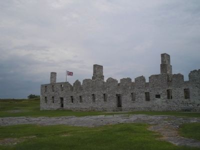
Photographed By Bill Coughlin, July 11, 2008
4. His Majesty’s Fort of Crown Point
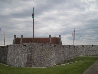
The British built this fort at Crown Point after the French abandoned Fort St. Frédéric, located at this site, in 1759. Together with Fort Ticonderoga to the south, these forts protected the British, and later the Americans, from an attack from the north.
Credits. This page was last revised on April 7, 2021. It was originally submitted on July 20, 2008, by Bill Coughlin of Woodland Park, New Jersey. This page has been viewed 1,887 times since then and 22 times this year. Photos: 1, 2, 3, 4, 5. submitted on July 20, 2008, by Bill Coughlin of Woodland Park, New Jersey.
