Near Marysville in Union County, Ohio — The American Midwest (Great Lakes)
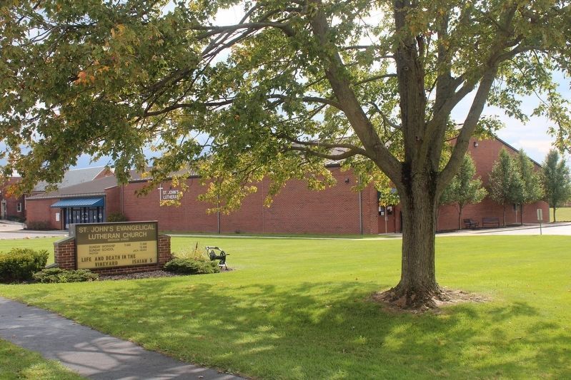
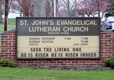
St.Johnís Evangelical Lutheran Church and School
Inscription.
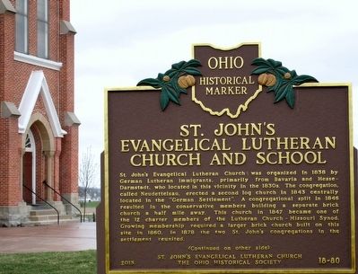
St. John's Evangelical Lutheran Church was organized in 1838 by German Lutheran immigrants, primarily from Bavaria and Hesse-Darmstadt, who located in this vicinity in the 1830s. The congregation, called Neudettelsau, erected a second log church in 1843 centrally located in the "German Settlement". A congregational split in 1846 resulted in the conservative members building a separate brick church a half mile away. This church in 1847 became one of the 12 charter members of the Lutheran Church-Missouri Synod. Growing membership required a larger brick church built on this site in 1860. In 1878 the two St. John's congregations in the settlement reunited.
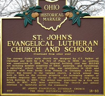
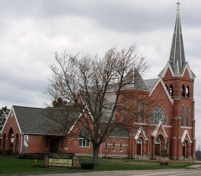
The current Gothic style church was designed by G.F. Walker of Cleveland and built by A.M. Fry of Piqua in 1900. An addition was constructed in 1989. The original building cost was $17,043 not including member donations of labor, materials, and furnishings. A parochial school, built of logs, was established in 1843 and supplied with free books from friends in Germany. After the school was housed in the vacated church, a brick school was built in 1864 on the current property. An increasing number of students required the school to be replaced with a two-story brick building in 1880. The school was destroyed by a fire and rebuilt in 1937, with later additions. The church and school
continue to faithfully serve the community.Erected 2013 by St. Johnís Evangelical Lutheran Church The Ohio Historical Society. (Marker Number 18- 80.)
Topics and series. This historical marker is listed in these topic lists: Churches & Religion • Education • Settlements & Settlers. In addition, it is included in the Ohio Historical Society / The Ohio History Connection series list. A significant historical year for this entry is 1838.
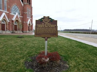
Location. 40° 11.345′ N, 83° 21.074′ W. Marker is near Marysville, Ohio, in Union County. Marker is at the intersection of Marysville- Plain City Road (Ohio Route 736) and Kandel Road (County Route 61), on the right when traveling east on Marysville- Plain City Road. Touch for map. Marker is at or near this postal address: 12809 State Route 736, Marysville OH 43040, United States of America. Touch for directions.
Other nearby markers. At least 8 other markers are within 4 miles of this marker, measured as the crow flies. Mitchell Cemetery Stone #1 (approx. 3 miles away); Mitchell Cemetery Stone #2 (approx. 3 miles away); Mitchell Cemetery Stone #3 (approx. 3 miles away); Bridgeport / Bridgeport Iron Bridge (approx. 3.2 miles away); Thomas O. Nuckles (approx. 3.3 miles away); Friendship Garden (approx. 3.3 miles away); Marysville Journal-Tribune Clock
(approx. 3.3 miles away); Marysville, Ohio (approx. 3.3 miles away). Touch for a list and map of all markers in Marysville.
Also see . . . Neuendettelsau Nostalgia. (Submitted on March 29, 2016, by Bill Pfingsten of Bel Air, Maryland.)
Credits. This page was last revised on October 4, 2020. It was originally submitted on March 29, 2016, by Rev. Ronald Irick of West Liberty, Ohio. This page has been viewed 480 times since then and 35 times this year. Photos: 1, 2, 3, 4. submitted on March 29, 2016, by Rev. Ronald Irick of West Liberty, Ohio. 5. submitted on October 4, 2020, by Robert Baughman of Bellefontaine, Ohio. 6. submitted on March 29, 2016, by Rev. Ronald Irick of West Liberty, Ohio. • Bill Pfingsten was the editor who published this page.
