Stony Point in Rockland County, New York — The American Northeast (Mid-Atlantic)
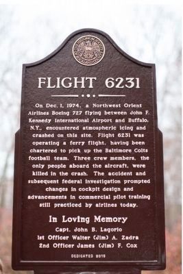
Flight 6231
Northwest Airlines Flight 6231
2nd Officer James (Jim) F. Cox
Erected 2015 by Historical Society of the Palisades Interstate Park Region; Rockland Road Runners; The Interstate Park Commission and Rockland County.
Topics and series. This historical marker is listed in these topic lists: Air & Space • Disasters. In addition, it is included in the Former U.S. Presidents: #35 John F. Kennedy series list. A significant historical date for this entry is December 1, 1974.
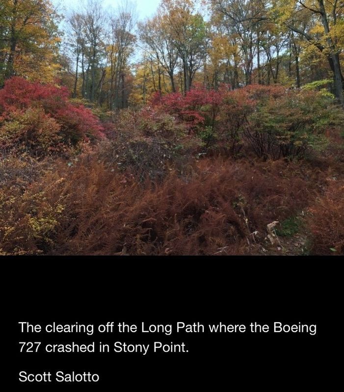
Location. 41° 13.955′ N, 74° 4.979′ W. Marker is in Stony Point, New York, in Rockland County. Marker can be reached from Lake Welch Parkway. Access from camp road off Lake Welch Parkway. Touch for map. Marker is in this post office area: Stony Point NY 10980, United States of America. Touch for directions.
Other nearby markers. At least 8 other markers are within 5 miles of this marker, measured as the crow flies. Cheesecoate (approx. 2.6 miles away); Ladentown United Methodist Church (approx. 3.4 miles away); Pig Knoll School (approx. 4.4 miles away); Wayne -Washington Lookout (approx. 4.7 miles away); The Appalachian Trail (approx. 4.9 miles away); The Palisades Interstate Parkway Scenic Byway Corridor (approx. 4.9 miles away); James A. Farley Memorial Bridge (approx. 5 miles away); Stony Point Veterans Monument (approx. 5 miles away). Touch for a list and map of all markers in Stony Point.
Regarding Flight 6231. Five organizations have worked together to make the memorial ceremony and plaque possible
The Historical Society of the Palisades Interstate Park Region
The Palisades Interstate Park Commission
The Rockland Road Runners
The County of Rockland
The Historical Society of Rockland County
Also see . . . 4 Decades Later. (Submitted on March 31, 2016, by Clare Sheridan of Tappan, New York.)
Additional keywords. Aviation; Plane Crash; Pilot
Credits. This page was last revised on May 24, 2019. It was originally submitted on March 30, 2016, by Clare Sheridan of Tappan, New York. This page has been viewed 1,280 times since then and 109 times this year. Last updated on May 22, 2019, by Carl Gordon Moore Jr. of North East, Maryland. Photos: 1. submitted on March 30, 2016, by Clare Sheridan of Tappan, New York. 2. submitted on September 25, 2017, by Clare Sheridan of Tappan, New York. • Andrew Ruppenstein was the editor who published this page.

