Fredericksburg, Virginia — The American South (Mid-Atlantic)
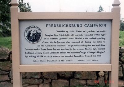
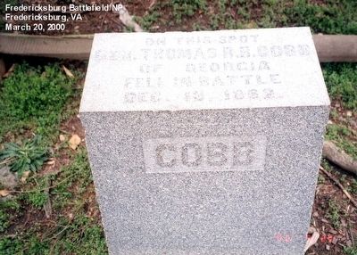
Fredericksburg Campaign
Erected by United States Department of the Interior, National Park Service.
Topics. This historical marker is listed in this topic list: War, US Civil. A significant historical date for this entry is December 13, 1862.
Location. Marker has been reported missing. It was located near 38° 17.789′ N, 77° 28.108′ W. Marker was in Fredericksburg, Virginia. Marker was on Sunken Road, 0.3 miles north of Lafayette Boulevard, on the right when traveling north. Touch for map. Marker was at or near this postal address: 1013 Lafayette Blvd, Fredericksburg VA 22401, United States of America. Touch for directions.
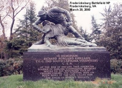
Other nearby markers. At least 8 other markers are within walking distance of this location. The Original Wall (a few steps from this marker); Kirkland Monument (a few steps from this marker); Brompton (a few steps from this marker); The Ebert House and Store (within shouting distance of this marker); The "Angel of Marye's Heights" (within shouting distance of this marker); Sunken Road (within shouting distance of this marker); Seeking Cover (within shouting distance of this marker); The Killing Fields (within shouting distance of this marker). Touch for a list and map of all markers in Fredericksburg.
More about this marker. This marker has been replaced by another nearby marker titled, "The Original Wall"
Also see . . . Fredericksburg & Spotsylvania National Military Park. National Park Service. (Submitted on April 4, 2016.)
Credits. This page was last revised on February 2, 2023. It was originally submitted on April 3, 2016, by Don Morfe of Baltimore, Maryland. This page has been viewed 420 times since then and 11 times this year. Last updated on November 23, 2017, by Shane Oliver of Richmond, Virginia. Photos: 1, 2, 3, 4. submitted on April 3, 2016, by Don Morfe of Baltimore, Maryland. • Bill Pfingsten was the editor who published this page.


