Fredericksburg, Virginia — The American South (Mid-Atlantic)
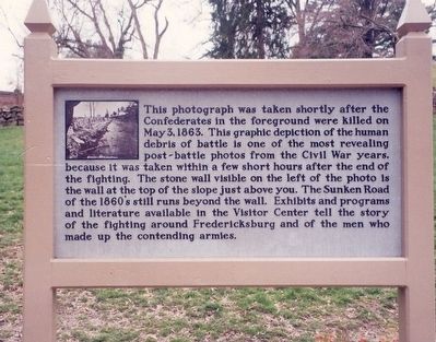
Sunken Road
Battle of Chancellorsville
Erected by United States Department of the Interior, National Park Service.
Topics. This historical marker is listed in this topic list: War, US Civil.
Location. 38° 17.77′ N, 77° 28.126′ W. Marker is in Fredericksburg, Virginia. Marker is on Sunken Road, 0.3 miles north of Lafayette Boulevard, on the left when traveling north. Touch for map. Marker is at or near this postal address: 1013 Lafayette Blvd, Fredericksburg VA 22401, United States of America. Touch for directions.
Other nearby markers. At least 8 other markers are within walking distance of this marker. Brompton (within shouting distance of this marker); The Original Wall (within shouting distance of this marker); The "Angel of Marye's Heights" (within shouting distance of this marker); Kirkland Monument (within shouting distance of this marker); Innis House (within shouting distance of this marker); Seeking Cover (within shouting distance of this marker); The Killing Fields (within shouting distance of this marker); The Ebert House and Store (within shouting distance of this marker). Touch for a list and map of all markers in Fredericksburg.
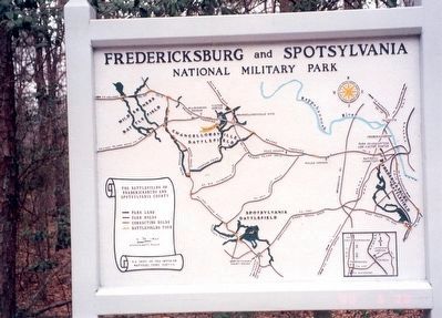
Also see . . . Fredericksburg & Spotsylvania National Military Park. National Park Service. (Submitted on April 4, 2016.)

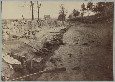
Photographed By Andrew J. Russell, 1863
2. Stone wall at foot of Marye's Heights
Fredericksburg, Va. at the front carried by 6th Maine Infantry, May 3, 1863. Photographed twenty minutes after storming party had [...] up the hill Library of Congress LC-DIG-ppmsca-32929 (digital file from original item) LC-B8184-605 (b&w film copy neg.)
Credits. This page was last revised on February 2, 2023. It was originally submitted on April 3, 2016, by Don Morfe of Baltimore, Maryland. This page has been viewed 620 times since then and 39 times this year. Photos: 1. submitted on April 3, 2016, by Don Morfe of Baltimore, Maryland. 2. submitted on April 3, 2016. 3. submitted on April 3, 2016, by Don Morfe of Baltimore, Maryland. • Bernard Fisher was the editor who published this page.

