Near Richland in Union County, South Dakota — The American Midwest (Upper Plains)
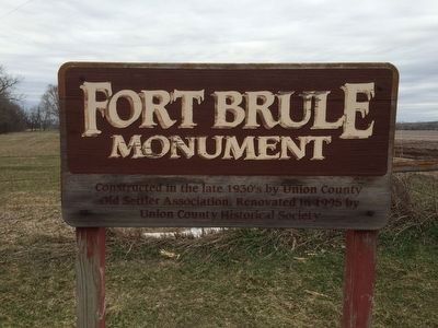
Fort Brule
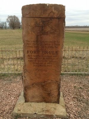
Fort Brule
Built in 1862 by soldiers and settlers as protection against renegade and hostile Indians.
Abandoned in 1868
Dismantled 1873
Erected 1930 by Old Settlers Association of Union County, South Dakota. (Marker Number 576.)
Topics and series. This historical marker is listed in these topic lists: Forts and Castles • Settlements & Settlers • Wars, US Indian. In addition, it is included in the South Dakota State Historical Society Markers series list. A significant historical year for this entry is 1862.
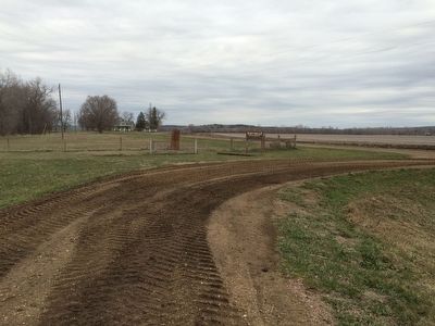
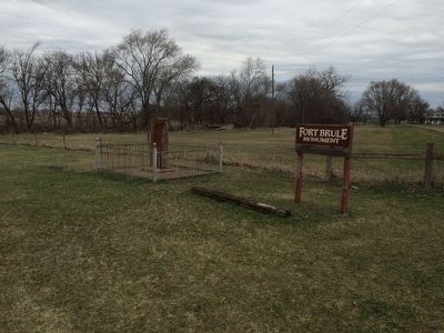
Location. 42° 45.714′ N, 96° 40.434′ W. Marker is near Richland, South Dakota, in Union County. Marker is on State Highway 50, 0.7 miles east of SD - 11, on the right when traveling west. Touch for map. Marker is in this post office area: Elk Point SD 57025, United States of America. Touch for directions.
Other nearby markers. At least 8 other markers are within 6 miles of this marker, measured as the crow flies. St. Paul Lutheran Church (approx. 0.7 miles away); Richland Methodist Episcopal Church (approx. 0.9 miles away); Giants in the Earth Country (approx. 1.2 miles away); Site of First Norwegian Lutheran Church in Dakota Territory (approx. 1.7 miles away); Elk Point (approx. 5.2 miles away); First Election in Northwestern United States (approx. 5.3 miles away); Lewis & Clark Campsite / Eli Wixson Farm Site (approx. 5˝ miles away); Return to "Elk Sign" Campsite (approx. 5˝ miles away). Touch for a list and map of all markers in Richland.
Credits. This page was last revised on January 13, 2022. It was originally submitted on April 4, 2016, by Ruth VanSteenwyk of Aberdeen, South Dakota. This page has been viewed 549 times since then and 31 times this year. Last updated on January 12, 2022. Photos: 1, 2, 3, 4. submitted on April 4, 2016, by Ruth VanSteenwyk of Aberdeen, South Dakota. • J. Makali Bruton was the editor who published this page.


