Death Valley National Park in Inyo County, California — The American West (Pacific Coastal)
Keane Wonder Mine
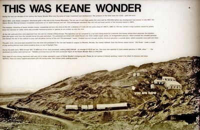
During the first two decades of this century the Keane Wonder Mine was the scene of major investment and development. The products of this labor were the riches - gold and silver.
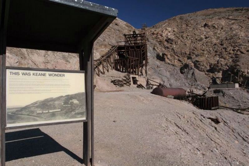
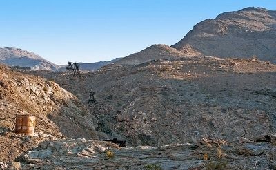
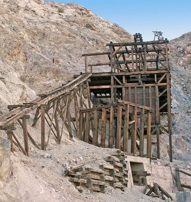
About 1903, Jack Keane, prospector, discovered gold in this area of the Funeral Mountains. The ore was of such high quality the mine sold for $150,000 before any development had started. In late 1907, the Keane Wonder Mining Company completed construction on an aerial tramway and mill. (This photograph represents how the mill and lower portion of the tramway looked in 1907).
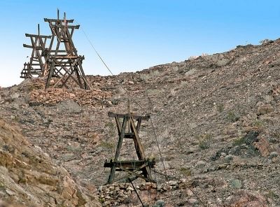
The tramway, consisting of eleven wooden towers, transported ore from the mine to the mill, a distance of 1 mile (1.6 km) and a drop of 1,300 feet (396 m). The ore, carried in large buckets, moved by gravity down the tramway on cables which also provided mechanical power to operate the crusher up near the mine.
At the mill, gold and silver were separated from the rock by a stamp milling process. This operation can be compared to a nut (ore) being struck by a hammer (the stamp) whose blow separates the valueless shell (the quartz rock) from the valuable kernel (the gold and silver). The pulverized ore mixed with water flowed over silver-coated copper plates, an amalgamation process, which arrested the valuable particles and allowed the rest of the material to pass over the plates and out of the mill. The processed "waste" material was put through another chemical operation, a cyanide plant, which extracted more gold and silver.
The gold, silver and some lead harvested from the mine and processed in the mill was hauled by wagon to Rhyolite, Nevada, the closet railhead. Even the famous steam tractor "Old Dinah" made a couple of trips pulling precious loads before breaking down on top of Daylight Pass.
During the peak years, 1909 through 1911, 73,989 tons of ore were processed yielding $682,209.69 - an average of $9.22 per ton. The mine was reported to have ceased operation in 1916, when "...the developed ore bodies were worked out." Reliable estimates have put the total production figure of the Keane Wonder Mine at $750,000.
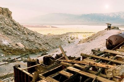
Each piece of rusty mining machinery and every bit of timber represents a part of Keane Wonder's intriguing past. Please do no remove or disturb anything. Leave it for others to discover and enjoy.
NOTICE: There are many hazards associated with old mining areas. Use caution when walking around.
Erected by National Park Service.
Topics. This historical marker is listed in these topic lists: Disasters • Industry & Commerce • Natural Resources. A significant historical year for this entry is 1903.
Location. Marker has been reported permanently removed. It was located near 36° 40.162′ N, 116° 54.556′ W. Marker was in Death Valley National Park, California, in Inyo County. Marker could be reached from Beatty Road. Take the dirt road 2.8 miles east of Beatty Road then hike up a small hill to the mine. Touch for map. Marker was in this post office area: Death Valley CA 92328, United States of America.
We have been informed that this sign or monument is no longer there and will not be replaced. This page is an archival view of what was.
Other nearby markers. At least 8 other markers are within 14 miles of this location, measured as the crow flies. A different marker also named Keane Wonder Mine (a few steps from this marker); Old Stovepipe Wells (approx. 9˝ miles away); Devil’s Cornfield (approx. 9.7 miles away); Twenty Mule Teams (approx. 13.2 miles away); White Gold (approx. 13.2 miles away); Borax (approx. 13.2 miles away); Old Harmony Borax Works (approx. 13.3 miles away); Titus Canyon Road (approx. 13.6 miles away in Nevada). Touch for a list and map of all markers in Death Valley National Park.
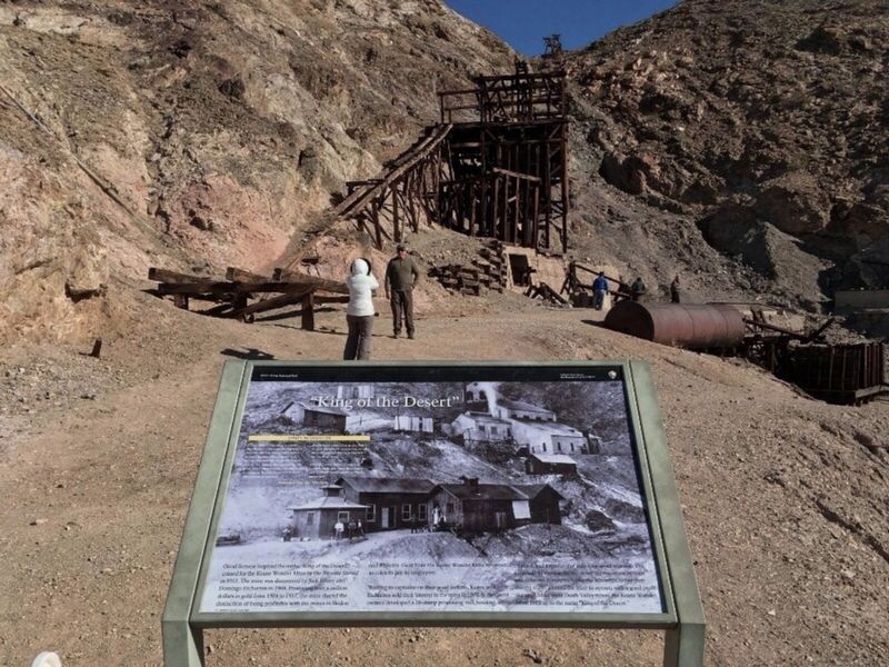
More about this marker. When we revisited Death Valley National Park in March 2016, the National Park Service (NPS) had closed the Keane Wonder Mine and surrounding area to public access. NPS cited several hazards including unstable ground, toxic waste and collapsing structures.
In 2017 the mine area reopened after safety improvements were completed, and a new marker was installed.
Also see . . . Keane Wonder Mine. Death Valley National Park website, with mine history, safety, and visit information. (Submitted on April 4, 2018, by Craig Baker of Sylmar, California.)
Credits. This page was last revised on November 30, 2023. It was originally submitted on April 7, 2016. This page has been viewed 412 times since then and 13 times this year. Last updated on November 4, 2020, by Craig Baker of Sylmar, California. Photos: 1. submitted on April 7, 2016, by Alvis Hendley of San Francisco, California. 2. submitted on April 4, 2018, by Craig Baker of Sylmar, California. 3. submitted on May 1, 2018, by Craig Baker of Sylmar, California. 4, 5, 6, 7. submitted on April 7, 2016, by Alvis Hendley of San Francisco, California. • J. Makali Bruton was the editor who published this page.
