Ranger in Eastland County, Texas — The American South (West South Central)
Bankhead Highway Through Eastland County
Inscription.
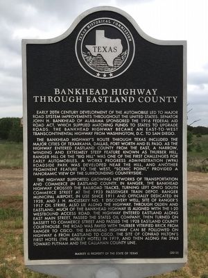
Early 20th century development of the automobile led to major road system improvements throughout the United States. Senator John H. Bankhead of Alabama sponsored the 1916 Federal Aid Road Act, which supplied matching funds to states to upgrade roads. The Bankhead Highway became an east-to-west transcontinental highway from Washington, D.C. to San Diego.
The Bankhead Highway's route through Texas included the major cities of Texarkana, Dallas, Fort Worth and El Paso. As the highway entered Eastland County from the east, a narrow, winding and extremely steep feature known as Thurber Hill, Ranger Hill or the "Big Hill" was one of the first challenges for early automobiles. A Works Progress Administration (WPA) roadside park was developed near the hill, and another prominent feature to the west, "Scenic Point," provided a panoramic view of the surrounding countryside.
The highway supported growing networks of transportation and commerce in Eastland County. In Ranger, the Bankhead Highway crossed the railroad tracks, turning left onto South Commerce Street at the 1923 passenger train depot. Ranger Municipal Airport, in use since 1911 and officially dedicated in 1928, and J. H. McCleskey No. 1 Discovery Well, site of Ranger's 1917 oil strike, also lie along the highway. Through Olden and Eastland, much of the Bankhead Highway is aligned with the I-20 westbound access road. The highway entered Eastland along East Main Street, passed the States Oil Company, then turned on Bassett to Commerce Street and passed the 1928 Eastland County Courthouse. The road was paved with Thurber vitrified brick from Ranger to Cisco. The Bankhead Highway can be followed on Highway 6 from Eastland to Cisco, the site of Conrad Hilton's first hotel (the Mobley Hotel) in 1919, and then along FM 2945 toward Putnam and the Callahan County line.
Erected 2015 by Texas Historical Commission. (Marker Number 18214.)
Topics. This historical marker is listed in this topic list: Roads & Vehicles. A significant historical year for this entry is 1916.
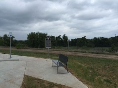
Location. 32° 29.481′ N, 98° 33.228′ W. Marker is in Ranger, Texas, in Eastland County. Marker can be reached from Bankhead Highway, half a mile north of Interstate 20, on the right when traveling east. This marker stands in a small area off of I-20W Exit 358, Safety Rest Area. Touch for map. Marker is in this post office area: Ranger TX 76470, United States of America. Touch for directions.
Other nearby markers. At least 8 other markers are within 7 miles of this marker, measured as the crow flies. Mary Jane Gentry (approx. 4.7 miles away); Mount Marion Cemetery (approx. 4.7 miles away); Strawn
(approx. 5.3 miles away); Strawn City Hall (approx. 5.3 miles away); Bethel Strawn, C.S.A. (approx. 5.3 miles away); Thomas House (approx. 5.6 miles away); Joseph Peter Davidson (approx. 6.9 miles away); Ranger Vietnam Veterans Memorial (approx. 7 miles away).
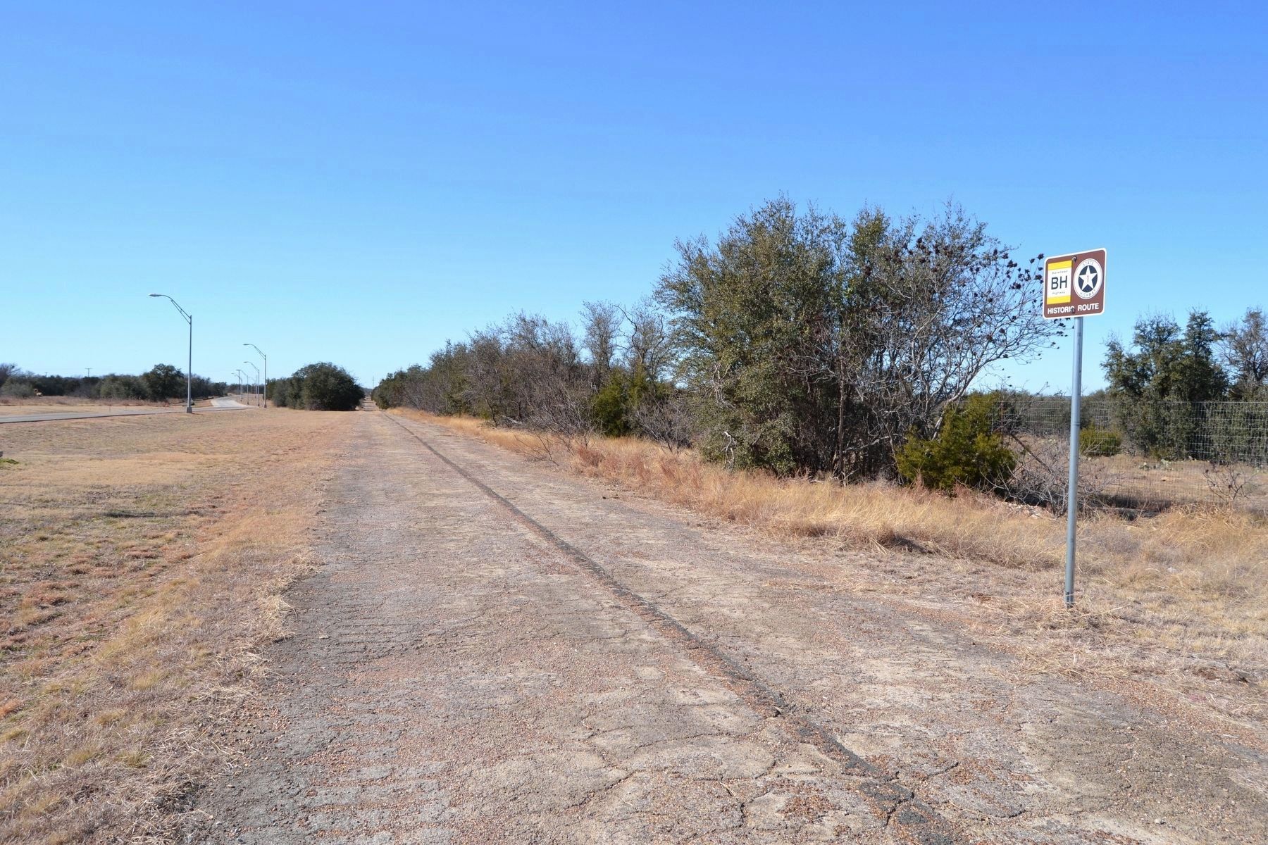
More about this marker. The marker stands next to a surviving section of the old Bankhead Highway.
Credits. This page was last revised on February 4, 2018. It was originally submitted on April 16, 2016, by QuesterMark of Fort Worth, Texas. This page has been viewed 559 times since then and 41 times this year. Photos: 1, 2. submitted on April 16, 2016, by QuesterMark of Fort Worth, Texas. 3. submitted on February 4, 2018, by Duane Hall of Abilene, Texas. • Bernard Fisher was the editor who published this page.


