The Lincoln Highway
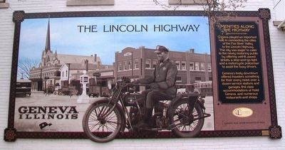
Amenities Along The Highway
— Geneva, Illinois —
Geneva played an important role in connecting the cities of the Fox River Valley to the Lincoln Highway. The city was eager to cater to the newly motoring public by offering well-lit, paved streets, a stop-and-go light, and a motorcycle policeman to assist the busy drivers.
Geneva's lively downtown offered travelers something for their every need: over a dozen service stations and garages, first class accommodations at Hotel Geneva and numerous restaurants and shops.
——————————
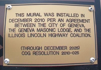
This mural was installed in December 2010 per an agreement between the City of Geneva, the Geneva Masonic Lodge, and the Illinois Lincoln Highway Coalition.
[Mural artist] Allen Hueg Marshall
Erected 2010 by Illinois Lincoln Highway Coalition.
Topics and series. This historical marker is listed in these topic lists: Industry & Commerce • Roads & Vehicles. In addition, it is included in the Lincoln Highway series list. A significant historical month for this entry is December 2010.
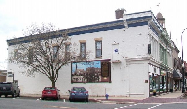
Location. 41° 53.254′ N, 88° 18.401′ W. Marker is in Geneva, Illinois, in Kane County. Marker is at the intersection of State Street (Illinois Route 38) and 2nd Street, on the left when traveling west on State Street. Touch for map. Marker is at or near this postal address: 10 South 2nd Street, Geneva IL 60134, United States of America. Touch for directions.
Other nearby markers. At
Also see . . .
1. The Lincoln Highway Association. Association website homepage (Submitted on April 27, 2016, by William Fischer, Jr. of Scranton, Pennsylvania.)
2. The Lincoln Highway. Federal Highway Administration website entry (Submitted on April 27, 2016, by William Fischer, Jr. of Scranton, Pennsylvania.)

Click for more information.
Credits. This page was last revised on August 1, 2021. It was originally submitted on April 27, 2016, by William Fischer, Jr. of Scranton, Pennsylvania. This page has been viewed 337 times since then and 16 times this year. Photos: 1, 2, 3. submitted on April 27, 2016, by William Fischer, Jr. of Scranton, Pennsylvania.

